Distance to Muldrow, Oklahoma

Calculating Your Route
Just a moment while we process your request...
Location Information
-
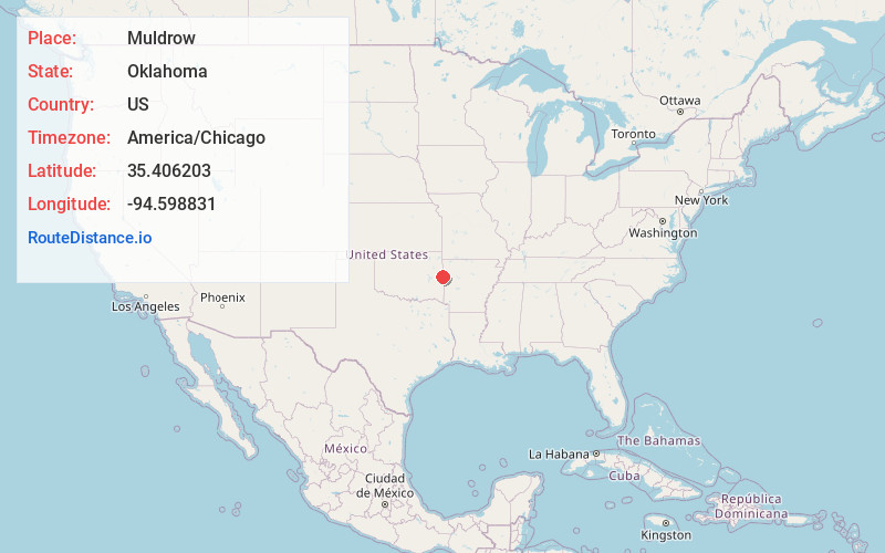
Full AddressMuldrow, OK 74948
-
Coordinates35.4062034, -94.5988306
-
LocationMuldrow , Oklahoma , US
-
TimezoneAmerica/Chicago
-
Current Local Time8:42:46 PM America/ChicagoThursday, May 22, 2025
-
Page Views0
About Muldrow
Muldrow, officially the Town of Muldrow, is a town in Sequoyah County, Oklahoma, United States. It is part of the Fort Smith, Arkansas–Oklahoma Metropolitan Statistical Area. The population was 3,466 at the 2010 census, an increase of 11.7 percent over the figure of 3,104 recorded in 2000.


Nearby Places
Found 10 places within 50 miles

Roland
4.9 mi
7.9 km
Roland, OK
Get directions

Fort Smith
10.1 mi
16.3 km
Fort Smith, AR
Get directions

Sallisaw
11.3 mi
18.2 km
Sallisaw, OK 74955
Get directions

Pocola
13.9 mi
22.4 km
Pocola, OK
Get directions

Van Buren
14.1 mi
22.7 km
Van Buren, AR 72956
Get directions

Barling
17.7 mi
28.5 km
Barling, AR
Get directions

Alma
21.8 mi
35.1 km
Alma, AR 72921
Get directions

Greenwood
23.5 mi
37.8 km
Greenwood, AR 72936
Get directions

Poteau
24.4 mi
39.3 km
Poteau, OK
Get directions

Stilwell
28.3 mi
45.5 km
Stilwell, OK 74960
Get directions
Location Links
Local Weather
Weather Information
Coming soon!
Location Map
Static map view of Muldrow, Oklahoma
Browse Places by Distance
Places within specific distances from Muldrow
Short Distances
Long Distances
Click any distance to see all places within that range from Muldrow. Distances shown in miles (1 mile ≈ 1.61 kilometers).