Distance to Cameron, Oklahoma

Calculating Your Route
Just a moment while we process your request...
Location Information
-
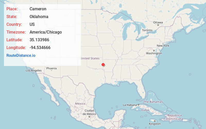
Full AddressCameron, OK 74932
-
Coordinates35.1339862, -94.5346655
-
LocationCameron , Oklahoma , US
-
TimezoneAmerica/Chicago
-
Current Local Time7:50:03 PM America/ChicagoFriday, May 30, 2025
-
Page Views0
About Cameron
Cameron is a town in Le Flore County, Oklahoma, United States. It is part of the Fort Smith, Arkansas-Oklahoma Metropolitan Statistical Area. The population was 302 at the 2010 census, a decline of 3.2 percent from the figure of 312 recorded in 2000.


Nearby Places
Found 10 places within 50 miles

Rock Island
4.8 mi
7.7 km
Rock Island, OK
Get directions

Shady Point
7.0 mi
11.3 km
Shady Point, OK 74956
Get directions

Pocola
7.4 mi
11.9 km
Pocola, OK
Get directions

Poteau
7.5 mi
12.1 km
Poteau, OK
Get directions
Hackett
7.7 mi
12.4 km
Hackett, AR 72937
Get directions
Panama
8.1 mi
13.0 km
Panama, OK
Get directions

Spiro
8.8 mi
14.2 km
Spiro, OK 74959
Get directions

Bonanza
9.7 mi
15.6 km
Bonanza, AR 72916
Get directions
Midland
10.5 mi
16.9 km
Midland, AR
Get directions
Fort Coffee
11.1 mi
17.9 km
Fort Coffee, OK 74959
Get directions
Location Links
Local Weather
Weather Information
Coming soon!
Location Map
Static map view of Cameron, Oklahoma
Browse Places by Distance
Places within specific distances from Cameron
Short Distances
Long Distances
Click any distance to see all places within that range from Cameron. Distances shown in miles (1 mile ≈ 1.61 kilometers).