Distance to Fort Coffee, Oklahoma

Calculating Your Route
Just a moment while we process your request...
Location Information
-
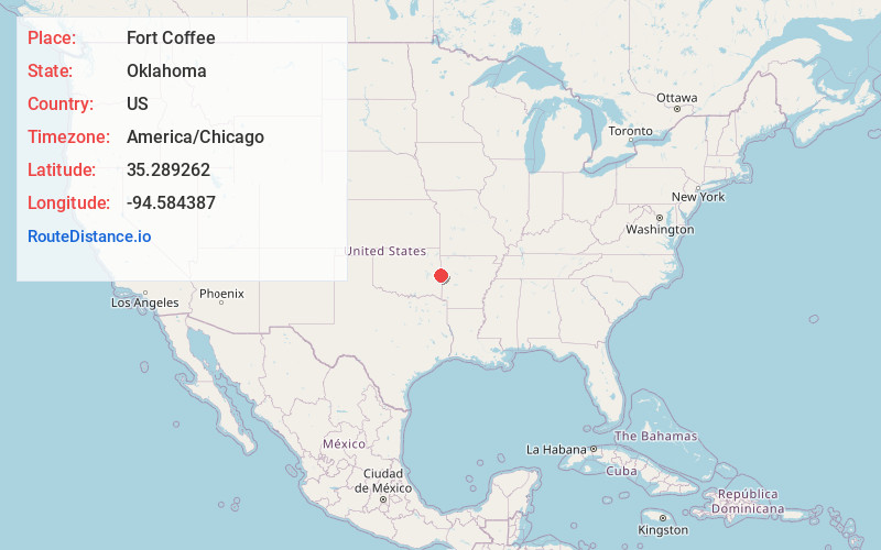
Full AddressFort Coffee, OK 74959
-
Coordinates35.2892616, -94.584387
-
LocationFort Coffee , Oklahoma , US
-
TimezoneAmerica/Chicago
-
Current Local Time6:39:39 PM America/ChicagoWednesday, July 2, 2025
-
Page Views0
About Fort Coffee
Fort Coffee is a town in Le Flore County, Oklahoma, United States. Originally constructed as a U. S. Army fort in 1834, it was named for U. S. General John Coffee, a veteran of the Seminole Wars. It is part of the Fort Smith, Arkansas-Oklahoma Metropolitan Statistical Area.
Nearby Places
Found 10 places within 50 miles

Spiro
3.9 mi
6.3 km
Spiro, OK 74959
Get directions

Pocola
7.2 mi
11.6 km
Pocola, OK
Get directions

Muldrow
8.1 mi
13.0 km
Muldrow, OK 74948
Get directions

Arkoma
9.4 mi
15.1 km
Arkoma, OK 74901
Get directions

Rock Island
9.7 mi
15.6 km
Rock Island, OK
Get directions
Panama
9.8 mi
15.8 km
Panama, OK
Get directions

Bonanza
9.8 mi
15.8 km
Bonanza, AR 72916
Get directions

Roland
9.9 mi
15.9 km
Roland, OK
Get directions

Fort Smith
11.3 mi
18.2 km
Fort Smith, AR
Get directions

Shady Point
11.8 mi
19.0 km
Shady Point, OK 74956
Get directions
Location Links
Local Weather
Weather Information
Coming soon!
Location Map
Static map view of Fort Coffee, Oklahoma
Browse Places by Distance
Places within specific distances from Fort Coffee
Short Distances
Long Distances
Click any distance to see all places within that range from Fort Coffee. Distances shown in miles (1 mile ≈ 1.61 kilometers).