Distance to Bath, South Carolina

Calculating Your Route
Just a moment while we process your request...
Location Information
-
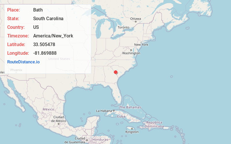
Full AddressBath, Burnettown, SC
-
Coordinates33.5054781, -81.8698878
-
NeighborhoodBath
-
LocationBurnettown , South Carolina , US
-
TimezoneAmerica/New_York
-
Current Local Time4:31:26 AM America/New_YorkSunday, May 25, 2025
-
Page Views0
About Bath
Bath is an unincorporated community in Aiken County, South Carolina, United States. The community is located in the Horse Creek Valley, and its zip code is 29816. It is part of the Augusta, Georgia metropolitan area.
Nearby Places
Found 10 places within 50 miles

Burnettown
0.8 mi
1.3 km
Burnettown, SC
Get directions

Clearwater
1.4 mi
2.3 km
Clearwater, SC
Get directions

Jacksonville
1.6 mi
2.6 km
Jacksonville, SC 29851
Get directions

Langley
1.7 mi
2.7 km
Langley, SC
Get directions
Gloverville
2.7 mi
4.3 km
Gloverville, SC
Get directions
Bradleyville
4.0 mi
6.4 km
Bradleyville, SC 29841
Get directions
Belvedere
4.7 mi
7.6 km
Belvedere, SC 29841
Get directions
Warrenville
4.9 mi
7.9 km
Warrenville, SC
Get directions

Graniteville
5.3 mi
8.5 km
Graniteville, SC
Get directions

Beech Island
5.5 mi
8.9 km
Beech Island, SC 29842
Get directions
Location Links
Local Weather
Weather Information
Coming soon!
Location Map
Static map view of Bath, South Carolina
Browse Places by Distance
Places within specific distances from Bath
Short Distances
Long Distances
Click any distance to see all places within that range from Bath. Distances shown in miles (1 mile ≈ 1.61 kilometers).