Distance to Bath County, Kentucky

Calculating Your Route
Just a moment while we process your request...
Location Information
-
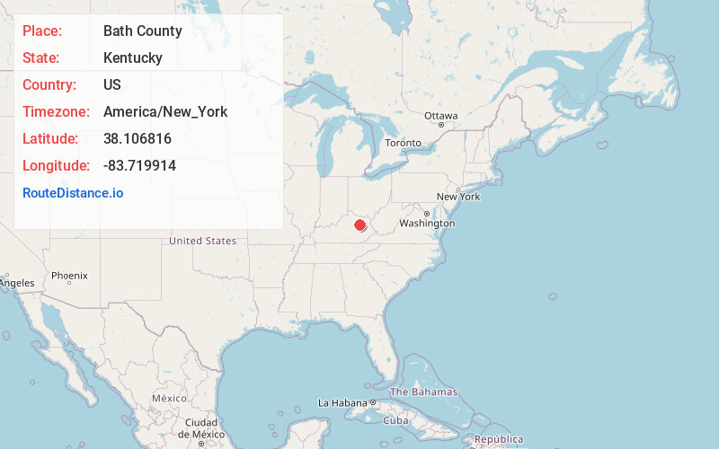
Full AddressBath County, KY
-
Coordinates38.1068164, -83.7199136
-
LocationKentucky , US
-
TimezoneAmerica/New_York
-
Current Local Time11:01:57 PM America/New_YorkMonday, June 2, 2025
-
Page Views0
About Bath County
Bath County is a county located in the U.S. state of Kentucky. As of the 2020 census, the population was 12,750. The county seat is Owingsville. The county was formed in 1811.


Nearby Places
Found 10 places within 50 miles

Preston
2.3 mi
3.7 km
Preston, KY 40360
Get directions
Owingsville
3.6 mi
5.8 km
Owingsville, KY 40360
Get directions

Peasticks
3.6 mi
5.8 km
Peasticks, KY 40360
Get directions
Peeled Oak Creek
4.6 mi
7.4 km
Peeled Oak Creek, Kentucky 40360
Get directions

Salt Lick
5.8 mi
9.3 km
Salt Lick, KY 40371
Get directions
Sudith
7.8 mi
12.6 km
Sudith, KY 40346
Get directions
Colfax
8.7 mi
14.0 km
Colfax, KY 41049
Get directions
Upper Spencer
8.7 mi
14.0 km
Upper Spencer, KY 40353
Get directions
Oakla
9.8 mi
15.8 km
Oakla, KY 40360
Get directions
Farmers
9.8 mi
15.8 km
Farmers, KY 40351
Get directions
Location Links
Local Weather
Weather Information
Coming soon!
Location Map
Static map view of Bath County, Kentucky
Browse Places by Distance
Places within specific distances from Bath County
Short Distances
Long Distances
Click any distance to see all places within that range from Bath County. Distances shown in miles (1 mile ≈ 1.61 kilometers).