Distance to Preston, Kentucky

Calculating Your Route
Just a moment while we process your request...
Location Information
-
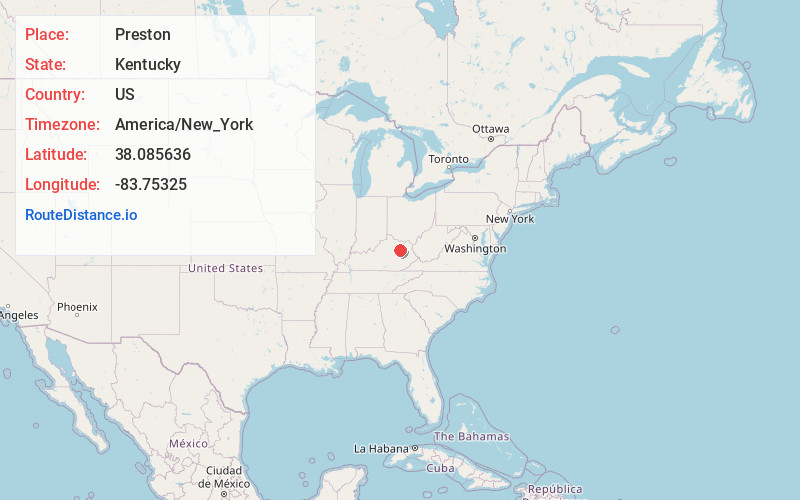
Full AddressPreston, KY 40360
-
Coordinates38.0856355, -83.7532504
-
LocationPreston , Kentucky , US
-
TimezoneAmerica/New_York
-
Current Local Time6:44:37 AM America/New_YorkThursday, June 19, 2025
-
Page Views0
About Preston
Preston is an unincorporated community in Bath County, Kentucky, United States. Its elevation is 758 feet and it is in the Eastern Time Zone. Preston's zip code is 40366.

Nearby Places
Found 10 places within 50 miles

Peeled Oak Creek
2.3 mi
3.7 km
Peeled Oak Creek, Kentucky 40360
Get directions

Owingsville
4.1 mi
6.6 km
Owingsville, KY 40360
Get directions
Peasticks
5.7 mi
9.2 km
Peasticks, KY 40360
Get directions
Upper Spencer
6.4 mi
10.3 km
Upper Spencer, KY 40353
Get directions

Salt Lick
7.9 mi
12.7 km
Salt Lick, KY 40371
Get directions
Sudith
8.1 mi
13.0 km
Sudith, KY 40346
Get directions
Lucky Stop
9.0 mi
14.5 km
Lucky Stop, Jeffersonville, KY 40337
Get directions

Jeffersonville
9.1 mi
14.6 km
Jeffersonville, KY 40337
Get directions

Camargo
9.7 mi
15.6 km
Camargo, KY 40353
Get directions

Mt Sterling
10.5 mi
16.9 km
Mt Sterling, KY 40353
Get directions
Location Links
Local Weather
Weather Information
Coming soon!
Location Map
Static map view of Preston, Kentucky
Browse Places by Distance
Places within specific distances from Preston
Short Distances
Long Distances
Click any distance to see all places within that range from Preston. Distances shown in miles (1 mile ≈ 1.61 kilometers).