Distance to Mt Sterling, Kentucky

Calculating Your Route
Just a moment while we process your request...
Location Information
-
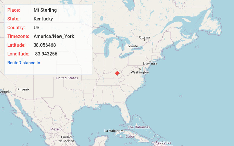
Full AddressMt Sterling, KY 40353
-
Coordinates38.0564679, -83.9432556
-
LocationMt Sterling , Kentucky , US
-
TimezoneAmerica/New_York
-
Current Local Time3:38:36 AM America/New_YorkTuesday, June 10, 2025
-
Page Views0
About Mt Sterling
Mount Sterling, often written as Mt. Sterling, is a home rule-class city in Montgomery County, Kentucky, United States. The population was 7,558 as of the 2020 census, up from 6,895 in 2010. It is the county seat of Montgomery County and the principal city of the Mount Sterling micropolitan area.


Nearby Places
Found 9 places within 50 miles

Winchester
13.7 mi
22.0 km
Winchester, KY 40391
Get directions

Paris
19.9 mi
32.0 km
Paris, KY 40361
Get directions

Richmond
28.7 mi
46.2 km
Richmond, KY
Get directions

Lexington
31.1 mi
50.1 km
Lexington, KY
Get directions

Georgetown
35.1 mi
56.5 km
Georgetown, KY 40324
Get directions

Nicholasville
36.4 mi
58.6 km
Nicholasville, KY 40356
Get directions

Berea
38.8 mi
62.4 km
Berea, KY
Get directions

Maysville
41.8 mi
67.3 km
Maysville, KY 41056
Get directions

Versailles
42.8 mi
68.9 km
Versailles, KY 40383
Get directions
Location Links
Local Weather
Weather Information
Coming soon!
Location Map
Static map view of Mt Sterling, Kentucky
Browse Places by Distance
Places within specific distances from Mt Sterling
Short Distances
Long Distances
Click any distance to see all places within that range from Mt Sterling. Distances shown in miles (1 mile ≈ 1.61 kilometers).