Distance to Lucky Stop, Kentucky

Calculating Your Route
Just a moment while we process your request...
Location Information
-
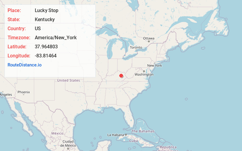
Full AddressLucky Stop, Jeffersonville, KY 40337
-
Coordinates37.964803, -83.8146401
-
LocationJeffersonville , Kentucky , US
-
TimezoneAmerica/New_York
-
Current Local Time11:45:01 AM America/New_YorkWednesday, May 21, 2025
-
Page Views0
About Lucky Stop
Lucky Stop is an unincorporated community within Montgomery County, Kentucky, United States.
Nearby Places
Found 10 places within 50 miles

Jeffersonville
1.6 mi
2.6 km
Jeffersonville, KY 40337
Get directions

Camargo
4.5 mi
7.2 km
Camargo, KY 40353
Get directions

Upper Spencer
4.8 mi
7.7 km
Upper Spencer, KY 40353
Get directions

Stanton
8.6 mi
13.8 km
Stanton, KY 40380
Get directions

Clay City
9.2 mi
14.8 km
Clay City, KY 40312
Get directions

Mt Sterling
9.4 mi
15.1 km
Mt Sterling, KY 40353
Get directions

Frenchburg
10.3 mi
16.6 km
Frenchburg, KY
Get directions
Reid Village
10.6 mi
17.1 km
Reid Village, KY 40353
Get directions

Owingsville
12.7 mi
20.4 km
Owingsville, KY 40360
Get directions
Ratliff
13.2 mi
21.2 km
Ratliff, KY 40322
Get directions
Location Links
Local Weather
Weather Information
Coming soon!
Location Map
Static map view of Lucky Stop, Kentucky
Browse Places by Distance
Places within specific distances from Lucky Stop
Short Distances
Long Distances
Click any distance to see all places within that range from Lucky Stop. Distances shown in miles (1 mile ≈ 1.61 kilometers).