Distance to Bath, Indiana

Calculating Your Route
Just a moment while we process your request...
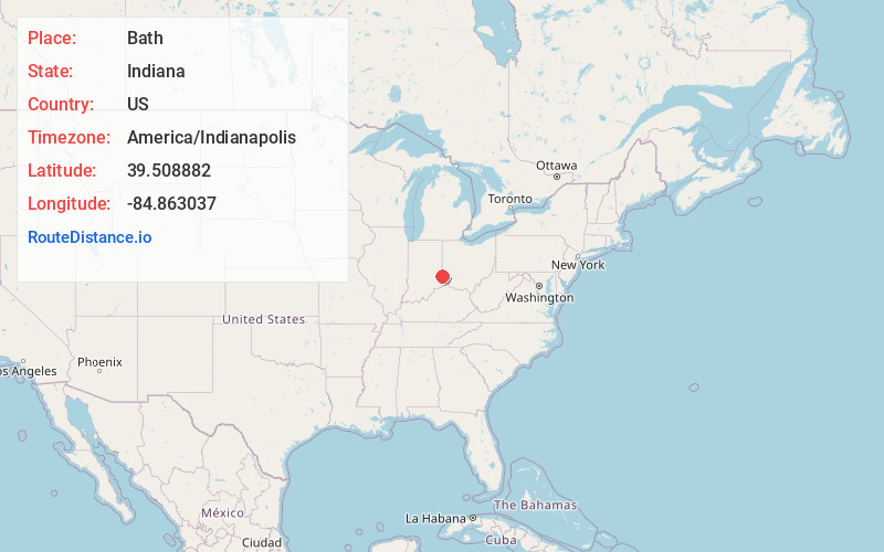
Location Information
-
Full AddressBath, IN
-
Coordinates39.5088823, -84.863037
-
LocationBath , Indiana , US
-
TimezoneAmerica/Indianapolis
-
Page Views0
About Bath
Bath is an unincorporated community in Bath Township, Franklin County, Indiana.
Nearby Places
Found 10 places within 50 miles

West College Corner
4.8 mi
7.7 km
West College Corner, IN
Get directions

College Corner
4.8 mi
7.7 km
College Corner, OH 45003
Get directions

Oxford
6.3 mi
10.1 km
Oxford, OH 45056
Get directions

Mt Carmel
7.0 mi
11.3 km
Mt Carmel, IN
Get directions
Newkirk
8.2 mi
13.2 km
Newkirk, Reily Township, OH 45056
Get directions

Liberty
9.5 mi
15.3 km
Liberty, IN 47353
Get directions

Brookville
9.9 mi
15.9 km
Brookville, IN 47012
Get directions
Blooming Grove
10.8 mi
17.4 km
Blooming Grove, IN 47012
Get directions
Darrtown
10.8 mi
17.4 km
Darrtown, OH 45056
Get directions

Cedar Grove
11.2 mi
18.0 km
Cedar Grove, IN
Get directions
Location Links
Local Weather
Weather Information
Coming soon!
Location Map
Static map view of Bath, Indiana
Browse Places by Distance
Places within specific distances from Bath
Short Distances
Long Distances
Click any distance to see all places within that range from Bath. Distances shown in miles (1 mile ≈ 1.61 kilometers).