Distance to Oxford, Ohio

Calculating Your Route
Just a moment while we process your request...
Location Information
-
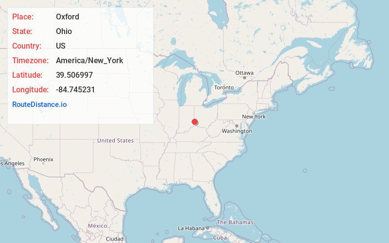
Full AddressOxford, OH 45056
-
Coordinates39.5069974, -84.745231
-
LocationOxford , Ohio , US
-
TimezoneAmerica/New_York
-
Current Local Time2:25:43 AM America/New_YorkTuesday, July 1, 2025
-
Website
-
Page Views0
About Oxford
Oxford is a city in northwestern Butler County, Ohio, United States. The population was 23,035 at the 2020 census.


Nearby Places
Found 10 places within 50 miles

Hamilton
12.4 mi
20.0 km
Hamilton, OH
Get directions

Fairfield
14.9 mi
24.0 km
Fairfield, OH
Get directions

Middletown
18.5 mi
29.8 km
Middletown, OH
Get directions

Richmond
23.5 mi
37.8 km
Richmond, IN
Get directions

Mason
25.4 mi
40.9 km
Mason, OH
Get directions

Cincinnati
30.6 mi
49.2 km
Cincinnati, OH
Get directions

Trotwood
30.6 mi
49.2 km
Trotwood, OH
Get directions

Covington
31.9 mi
51.3 km
Covington, KY
Get directions

Centerville
32.3 mi
52.0 km
Centerville, OH
Get directions

Kettering
33.2 mi
53.4 km
Kettering, OH
Get directions
Location Links
Local Weather
Weather Information
Coming soon!
Location Map
Static map view of Oxford, Ohio
Browse Places by Distance
Places within specific distances from Oxford
Short Distances
Long Distances
Click any distance to see all places within that range from Oxford. Distances shown in miles (1 mile ≈ 1.61 kilometers).