Distance to Centerville, Ohio

Calculating Your Route
Just a moment while we process your request...
Location Information
-
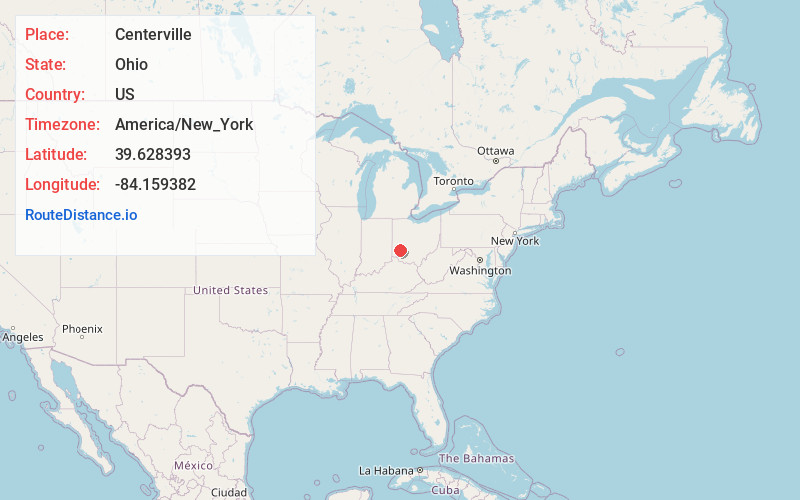
Full AddressCenterville, OH
-
Coordinates39.6283928, -84.1593818
-
LocationCenterville , Ohio , US
-
TimezoneAmerica/New_York
-
Current Local Time8:05:08 AM America/New_YorkMonday, June 2, 2025
-
Website
-
Page Views0
About Centerville
Centerville is a city in Montgomery County, Ohio, United States. A core suburb of Metro Dayton, its population was 24,240 as of the 2020 census.


Nearby Places
Found 10 places within 50 miles

Kettering
4.3 mi
6.9 km
Kettering, OH
Get directions

Beavercreek
7.6 mi
12.2 km
Beavercreek, OH
Get directions

Dayton
9.2 mi
14.8 km
Dayton, OH
Get directions

Xenia
12.8 mi
20.6 km
Xenia, OH 45385
Get directions

Middletown
14.9 mi
24.0 km
Middletown, OH
Get directions

Huber Heights
15.0 mi
24.1 km
Huber Heights, OH
Get directions

Fairborn
15.2 mi
24.5 km
Fairborn, OH
Get directions

Mason
20.2 mi
32.5 km
Mason, OH
Get directions

Hamilton
26.5 mi
42.6 km
Hamilton, OH
Get directions

Springfield
27.6 mi
44.4 km
Springfield, OH
Get directions
Location Links
Local Weather
Weather Information
Coming soon!
Location Map
Static map view of Centerville, Ohio
Browse Places by Distance
Places within specific distances from Centerville
Short Distances
Long Distances
Click any distance to see all places within that range from Centerville. Distances shown in miles (1 mile ≈ 1.61 kilometers).