Distance to Baxter, Missouri

Calculating Your Route
Just a moment while we process your request...
Location Information
-
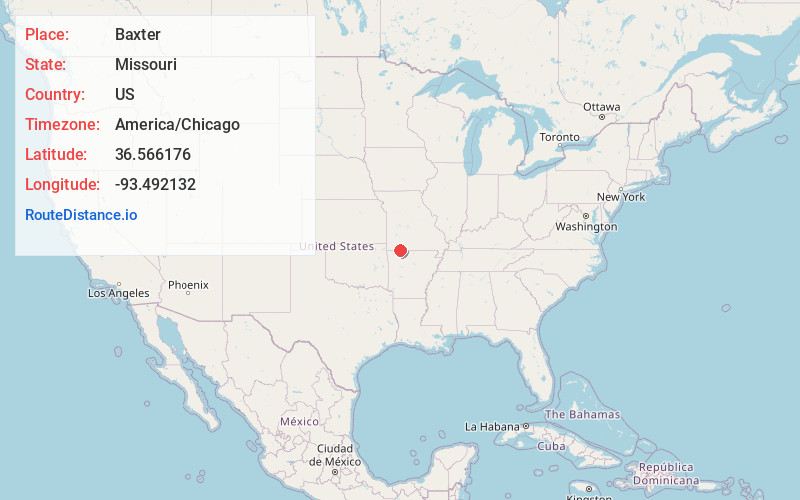
Full AddressBaxter, Pine B Township, MO 65681
-
Coordinates36.5661758, -93.492132
-
LocationPine B Township , Missouri , US
-
TimezoneAmerica/Chicago
-
Current Local Time12:41:01 AM America/ChicagoSaturday, May 24, 2025
-
Page Views0
Nearby Places
Found 10 places within 50 miles

Coney Island
5.6 mi
9.0 km
Coney Island, MO 65737
Get directions

Carr Lane
5.7 mi
9.2 km
Carr Lane, Williams Township, MO 65747
Get directions
Blue Eye
7.0 mi
11.3 km
Blue Eye, MO 65611
Get directions

Blue Eye
7.1 mi
11.4 km
Blue Eye, AR 72660
Get directions

Arrow Point
7.2 mi
11.6 km
Arrow Point, MO
Get directions

Shell Knob
7.6 mi
12.2 km
Shell Knob, MO
Get directions

Oak Grove
8.2 mi
13.2 km
Oak Grove, AR
Get directions
Maple
9.1 mi
14.6 km
Maple, AR 72616
Get directions

Indian Point
9.3 mi
15.0 km
Indian Point, MO
Get directions

Golden
9.4 mi
15.1 km
Golden, MO 65658
Get directions
Location Links
Local Weather
Weather Information
Coming soon!
Location Map
Static map view of Baxter, Missouri
Browse Places by Distance
Places within specific distances from Baxter
Short Distances
Long Distances
Click any distance to see all places within that range from Baxter. Distances shown in miles (1 mile ≈ 1.61 kilometers).