Distance to Golden, Missouri

Calculating Your Route
Just a moment while we process your request...
Location Information
-
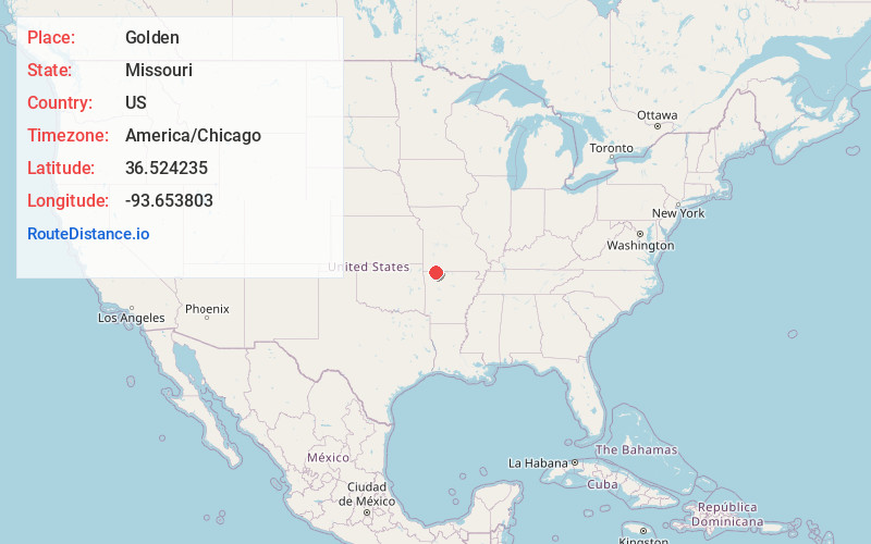
Full AddressGolden, MO 65658
-
Coordinates36.5242346, -93.6538026
-
LocationGolden , Missouri , US
-
TimezoneAmerica/Chicago
-
Current Local Time9:36:48 AM America/ChicagoThursday, June 5, 2025
-
Page Views0
About Golden
Golden is an unincorporated community and census-designated place in southeastern Barry County, Missouri, United States. It is approximately 20 miles southeast of Cassville. It is located south of Table Rock Lake and one mile north of Missouri Route 86 on Highway J. At the 2020 census, Golden had a population of 275.


Nearby Places
Found 10 places within 50 miles

Holiday Island
5.1 mi
8.2 km
Holiday Island, AR 72631
Get directions

Shell Knob
6.2 mi
10.0 km
Shell Knob, MO
Get directions

Eureka Springs
9.8 mi
15.8 km
Eureka Springs, AR
Get directions

Berryville
12.0 mi
19.3 km
Berryville, AR 72616
Get directions

Seligman
15.7 mi
25.3 km
Seligman, MO 65745
Get directions

Cassville
16.0 mi
25.7 km
Cassville, MO 65625
Get directions

Green Forest
17.8 mi
28.6 km
Green Forest, AR 72638
Get directions
Washburn
17.9 mi
28.8 km
Washburn, MO
Get directions

Garfield
18.4 mi
29.6 km
Garfield, AR 72732
Get directions

Indian Point
18.6 mi
29.9 km
Indian Point, MO
Get directions
Location Links
Local Weather
Weather Information
Coming soon!
Location Map
Static map view of Golden, Missouri
Browse Places by Distance
Places within specific distances from Golden
Short Distances
Long Distances
Click any distance to see all places within that range from Golden. Distances shown in miles (1 mile ≈ 1.61 kilometers).