Distance to Garfield, Arkansas

Calculating Your Route
Just a moment while we process your request...
Location Information
-
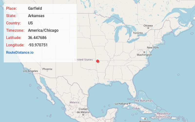
Full AddressGarfield, AR 72732
-
Coordinates36.4476858, -93.9707508
-
LocationGarfield , Arkansas , US
-
TimezoneAmerica/Chicago
-
Current Local Time4:59:27 AM America/ChicagoWednesday, June 4, 2025
-
Page Views0
About Garfield
Garfield is a town in Benton County, Arkansas, United States. The population was 593 at the 2020 census. It is part of the Northwest Arkansas region.


Nearby Places
Found 10 places within 50 miles

Seligman
5.9 mi
9.5 km
Seligman, MO 65745
Get directions

Avoca
6.5 mi
10.5 km
Avoca, AR 72756
Get directions

Pea Ridge
8.0 mi
12.9 km
Pea Ridge, AR
Get directions

Prairie Creek
8.9 mi
14.3 km
Prairie Creek, AR 72756
Get directions
Washburn
9.6 mi
15.4 km
Washburn, MO
Get directions

Little Flock
10.5 mi
16.9 km
Little Flock, AR
Get directions

Rogers
11.7 mi
18.8 km
Rogers, AR
Get directions

Eureka Springs
13.3 mi
21.4 km
Eureka Springs, AR
Get directions

Holiday Island
13.5 mi
21.7 km
Holiday Island, AR 72631
Get directions

Bentonville
14.3 mi
23.0 km
Bentonville, AR
Get directions
Location Links
Local Weather
Weather Information
Coming soon!
Location Map
Static map view of Garfield, Arkansas
Browse Places by Distance
Places within specific distances from Garfield
Short Distances
Long Distances
Click any distance to see all places within that range from Garfield. Distances shown in miles (1 mile ≈ 1.61 kilometers).