Distance to and from Baytown, Texas
Baytown, TX
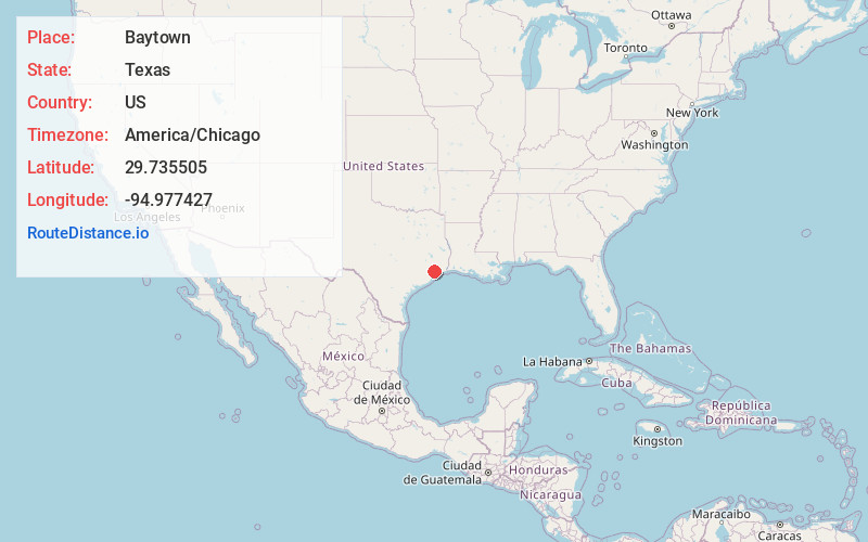
Baytown
Texas
US
America/Chicago
Location Information
-
Full AddressBaytown, TX
-
Coordinates29.7355047, -94.9774274
-
LocationBaytown , Texas , US
-
TimezoneAmerica/Chicago
-
Current Local Time11:51:14 AM America/ChicagoSaturday, May 3, 2025
-
Website
-
Page Views0
Directions to Nearest Cities
About Baytown
Baytown is a city in the U.S. state of Texas, within Harris and Chambers counties. Located in the Houston–The Woodlands–Sugar Land metropolitan statistical area, it lies on the northern side of the Galveston Bay complex near the outlets of the San Jacinto River and Buffalo Bayou.


Nearby Places
Found 6 places within 50 miles

Pasadena
13.7 mi
22.0 km
Pasadena, TX
Get directions

Pearland
22.0 mi
35.4 km
Pearland, TX
Get directions

Houston
23.6 mi
38.0 km
Houston, TX
Get directions

Galveston
31.9 mi
51.3 km
Galveston, TX
Get directions

Sugar Land
39.9 mi
64.2 km
Sugar Land, TX
Get directions

The Woodlands
41.5 mi
66.8 km
The Woodlands, TX
Get directions
Location Links
Local Weather
Weather Information
Coming soon!
Location Map
Static map view of Baytown, Texas
Browse Places by Distance
Places within specific distances from Baytown
Short Distances
Long Distances
Click any distance to see all places within that range from Baytown. Distances shown in miles (1 mile ≈ 1.61 kilometers).