Distance to and from Bealsville, Florida
Bealsville, FL 33567
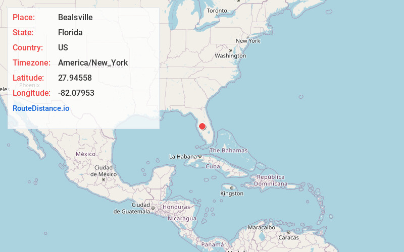
Florida
US
America/New_York
Location Information
-
Full AddressBealsville, FL 33567
-
Coordinates27.9455797, -82.0795304
-
LocationFlorida , US
-
TimezoneAmerica/New_York
-
Current Local Time7:27:14 PM America/New_YorkSaturday, May 3, 2025
-
Page Views0
Directions to Nearest Cities
About Bealsville
Bealsville, originally named Howell's Creek, is an unincorporated community in southeastern Hillsborough County, Florida, United States, between Plant City and Lithia near the intersection of Horton Road and Florida State Road 60.
Nearby Places
Found 10 places within 50 miles

Trapnell
2.1 mi
3.4 km
Trapnell, FL 33566
Get directions
Coronet
2.9 mi
4.7 km
Coronet, FL 33566
Get directions
Willow Oak
4.3 mi
6.9 km
Willow Oak, FL
Get directions

Plant City
5.4 mi
8.7 km
Plant City, FL
Get directions

Youmans
5.6 mi
9.0 km
Youmans, FL 33566
Get directions
Mt Enon
6.3 mi
10.1 km
Mt Enon, FL 33565
Get directions
Medulla
6.7 mi
10.8 km
Medulla, FL
Get directions

Turkey Creek
6.8 mi
10.9 km
Turkey Creek, FL 33527
Get directions
Shilow
7.2 mi
11.6 km
Shilow, Plant City, FL 33563
Get directions

Winston
7.2 mi
11.6 km
Winston, FL 33803
Get directions
Trapnell
2.1 mi
3.4 km
Trapnell, FL 33566
Coronet
2.9 mi
4.7 km
Coronet, FL 33566
Willow Oak
4.3 mi
6.9 km
Willow Oak, FL
Plant City
5.4 mi
8.7 km
Plant City, FL
Youmans
5.6 mi
9.0 km
Youmans, FL 33566
Mt Enon
6.3 mi
10.1 km
Mt Enon, FL 33565
Medulla
6.7 mi
10.8 km
Medulla, FL
Turkey Creek
6.8 mi
10.9 km
Turkey Creek, FL 33527
Shilow
7.2 mi
11.6 km
Shilow, Plant City, FL 33563
Winston
7.2 mi
11.6 km
Winston, FL 33803
Location Links
Local Weather
Weather Information
Coming soon!
Location Map
Static map view of Bealsville, Florida
Browse Places by Distance
Places within specific distances from Bealsville
Short Distances
Long Distances
Click any distance to see all places within that range from Bealsville. Distances shown in miles (1 mile ≈ 1.61 kilometers).