Distance to Bear, Arkansas

Calculating Your Route
Just a moment while we process your request...
Location Information
-
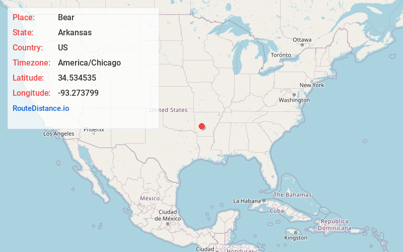
Full AddressBear, AR 71968
-
Coordinates34.5345345, -93.2737994
-
LocationBear , Arkansas , US
-
TimezoneAmerica/Chicago
-
Current Local Time1:45:08 PM America/ChicagoTuesday, June 24, 2025
-
Page Views0
About Bear
Bear, formerly also called Bear City, is an unincorporated community in Garland County, Arkansas, United States. It is close to the shore of Lake Ouachita, which was formed by the construction of the Blakely Mountain Dam across the Ouachita River.


Nearby Places
Found 10 places within 50 miles

Maddox
3.3 mi
5.3 km
Maddox, AR 71968
Get directions

Crystal Springs
3.6 mi
5.8 km
Crystal Springs, AR 71968
Get directions
Sunshine
4.7 mi
7.6 km
Sunshine, AR 71968
Get directions
Crystal Springs Landing
5.1 mi
8.2 km
Crystal Springs Landing, AR 71968
Get directions

Mountain Pine
6.3 mi
10.1 km
Mountain Pine, AR
Get directions
Meyers
6.9 mi
11.1 km
Meyers, AR 71933
Get directions

Pearcy
7.4 mi
11.9 km
Pearcy, AR
Get directions
Pleasant Hill
8.4 mi
13.5 km
Pleasant Hill, AR 71913
Get directions

Piney
8.7 mi
14.0 km
Piney, AR
Get directions

Rockwell
9.3 mi
15.0 km
Rockwell, AR 71913
Get directions
Location Links
Local Weather
Weather Information
Coming soon!
Location Map
Static map view of Bear, Arkansas
Browse Places by Distance
Places within specific distances from Bear
Short Distances
Long Distances
Click any distance to see all places within that range from Bear. Distances shown in miles (1 mile ≈ 1.61 kilometers).