Distance to Mountain Pine, Arkansas

Calculating Your Route
Just a moment while we process your request...
Location Information
-
Full AddressMountain Pine, AR
-
Coordinates34.5719811, -93.173255
-
LocationMountain Pine , Arkansas , US
-
TimezoneAmerica/Chicago
-
Current Local Time11:13:15 PM America/ChicagoSaturday, May 31, 2025
-
Page Views0
About Mountain Pine
Mountain Pine is a city in Garland County, Arkansas, United States. It is part of the Hot Springs Metropolitan Statistical Area. The population was 770 at the 2010 United States Census. It is located immediately southeast of Lake Ouachita below the Blakely Mountain Dam.


Nearby Places
Found 10 places within 50 miles

Piney
5.5 mi
8.9 km
Piney, AR
Get directions

Rockwell
7.8 mi
12.6 km
Rockwell, AR 71913
Get directions

Hot Springs
8.1 mi
13.0 km
Hot Springs, AR
Get directions

Lake Hamilton
11.1 mi
17.9 km
Lake Hamilton, AR 71913
Get directions

Pearcy
11.9 mi
19.2 km
Pearcy, AR
Get directions

Fountain Lake
14.2 mi
22.9 km
Fountain Lake, AR
Get directions

Magnet Cove
21.1 mi
34.0 km
Magnet Cove, AR 72104
Get directions
Rockport
24.0 mi
38.6 km
Rockport, AR 72104
Get directions

Malvern
25.1 mi
40.4 km
Malvern, AR 72104
Get directions

Mt Ida
26.2 mi
42.2 km
Mt Ida, AR 71957
Get directions
Location Links
Local Weather
Weather Information
Coming soon!
Location Map
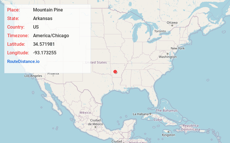
Static map view of Mountain Pine, Arkansas
Browse Places by Distance
Places within specific distances from Mountain Pine
Short Distances
Long Distances
Click any distance to see all places within that range from Mountain Pine. Distances shown in miles (1 mile ≈ 1.61 kilometers).