Distance to Mt Ida, Arkansas

Calculating Your Route
Just a moment while we process your request...
Location Information
-
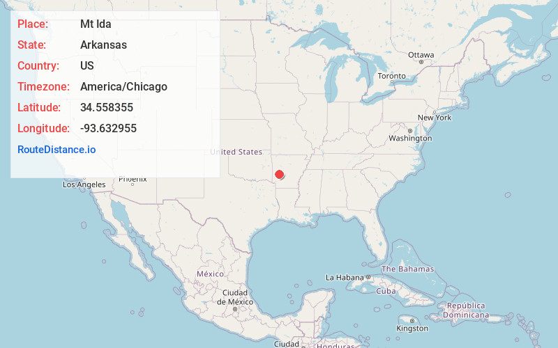
Full AddressMt Ida, AR 71957
-
Coordinates34.5583545, -93.632955
-
LocationMt Ida , Arkansas , US
-
TimezoneAmerica/Chicago
-
Current Local Time11:07:25 PM America/ChicagoSaturday, June 7, 2025
-
Page Views0
About Mt Ida
Mount Ida is a city in and the county seat of Montgomery County, Arkansas, United States. Founded in 1842, the city saw a silver boom in the 1880s bring early prosperity and economic development to the area.
Today, the economy is largely ranching, poultry farming, silviculture, and tourism around Lake Ouachita.


Nearby Places
Found 10 places within 50 miles

Glenwood
16.7 mi
26.9 km
Glenwood, AR
Get directions

Piney
29.1 mi
46.8 km
Piney, AR
Get directions

Rockwell
29.2 mi
47.0 km
Rockwell, AR 71913
Get directions

Lake Hamilton
32.0 mi
51.5 km
Lake Hamilton, AR 71913
Get directions

Hot Springs
33.1 mi
53.3 km
Hot Springs, AR
Get directions

Mena
34.4 mi
55.4 km
Mena, AR 71953
Get directions

Murfreesboro
34.5 mi
55.5 km
Murfreesboro, AR 71958
Get directions

Waldron
35.0 mi
56.3 km
Waldron, AR 72958
Get directions

Danville
36.9 mi
59.4 km
Danville, AR
Get directions

Booneville
43.4 mi
69.8 km
Booneville, AR 72927
Get directions
Location Links
Local Weather
Weather Information
Coming soon!
Location Map
Static map view of Mt Ida, Arkansas
Browse Places by Distance
Places within specific distances from Mt Ida
Short Distances
Long Distances
Click any distance to see all places within that range from Mt Ida. Distances shown in miles (1 mile ≈ 1.61 kilometers).