Distance to Beaton, Michigan

Calculating Your Route
Just a moment while we process your request...
Location Information
-
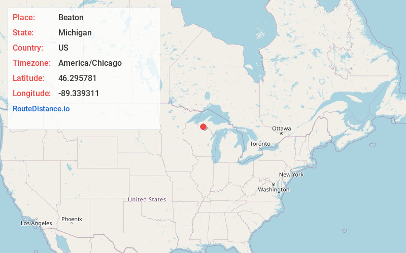
Full AddressBeaton, MI 49969
-
Coordinates46.2957812, -89.3393108
-
LocationBeaton , Michigan , US
-
TimezoneAmerica/Chicago
-
Current Local Time12:20:38 PM America/ChicagoThursday, June 26, 2025
-
Page Views0
Nearby Places
Found 10 places within 50 miles

Stickley
2.9 mi
4.7 km
Stickley, MI 49969
Get directions

Thayer
6.3 mi
10.1 km
Thayer, MI 49969
Get directions

Watersmeet
7.9 mi
12.7 km
Watersmeet, MI 49969
Get directions
Robbins
8.0 mi
12.9 km
Robbins, MI 49912
Get directions
Craigsmere
9.9 mi
15.9 km
Craigsmere, MI 49925
Get directions
Paulding
10.5 mi
16.9 km
Paulding, MI 49912
Get directions

Land O' Lakes
10.9 mi
17.5 km
Land O' Lakes, WI 54540
Get directions
Fuller
11.2 mi
18.0 km
Fuller, MI 49969
Get directions
White City
12.4 mi
20.0 km
White City, MI 49947
Get directions

Marenisco Township
13.0 mi
20.9 km
Marenisco Township, MI
Get directions
Location Links
Local Weather
Weather Information
Coming soon!
Location Map
Static map view of Beaton, Michigan
Browse Places by Distance
Places within specific distances from Beaton
Short Distances
Long Distances
Click any distance to see all places within that range from Beaton. Distances shown in miles (1 mile ≈ 1.61 kilometers).