Distance to Robbins, Michigan

Calculating Your Route
Just a moment while we process your request...
Location Information
-
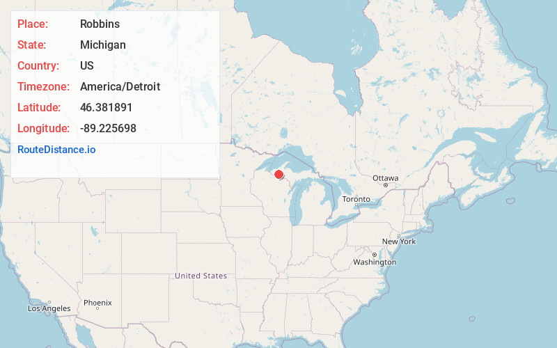
Full AddressRobbins, MI 49912
-
Coordinates46.3818907, -89.2256977
-
LocationRobbins , Michigan , US
-
TimezoneAmerica/Detroit
-
Current Local Time2:41:08 AM America/DetroitFriday, June 20, 2025
-
Page Views0
About Robbins
Robbins is an unincorporated community in Ontonagon County in the U.S. state of Michigan. The community is located within Haight Township.
Nearby Places
Found 10 places within 50 miles

Paulding
2.6 mi
4.2 km
Paulding, MI 49912
Get directions

Watersmeet
8.2 mi
13.2 km
Watersmeet, MI 49969
Get directions
Fuller
8.3 mi
13.4 km
Fuller, MI 49969
Get directions

Bruce Crossing
10.8 mi
17.4 km
Bruce Crossing, MI 49912
Get directions
Paynesville
11.1 mi
17.9 km
Paynesville, MI 49912
Get directions
Thayer
11.8 mi
19.0 km
Thayer, MI 49969
Get directions
Matchwood
14.5 mi
23.3 km
Matchwood, MI 49925
Get directions

Land O' Lakes
15.2 mi
24.5 km
Land O' Lakes, WI 54540
Get directions

Marenisco Township
16.3 mi
26.2 km
Marenisco Township, MI
Get directions
Katakitckon Indian Village
17.2 mi
27.7 km
Katakitckon Indian Village, MI 54540
Get directions
Location Links
Local Weather
Weather Information
Coming soon!
Location Map
Static map view of Robbins, Michigan
Browse Places by Distance
Places within specific distances from Robbins
Short Distances
Long Distances
Click any distance to see all places within that range from Robbins. Distances shown in miles (1 mile ≈ 1.61 kilometers).