Distance to Bruce Crossing, Michigan

Calculating Your Route
Just a moment while we process your request...
Location Information
-
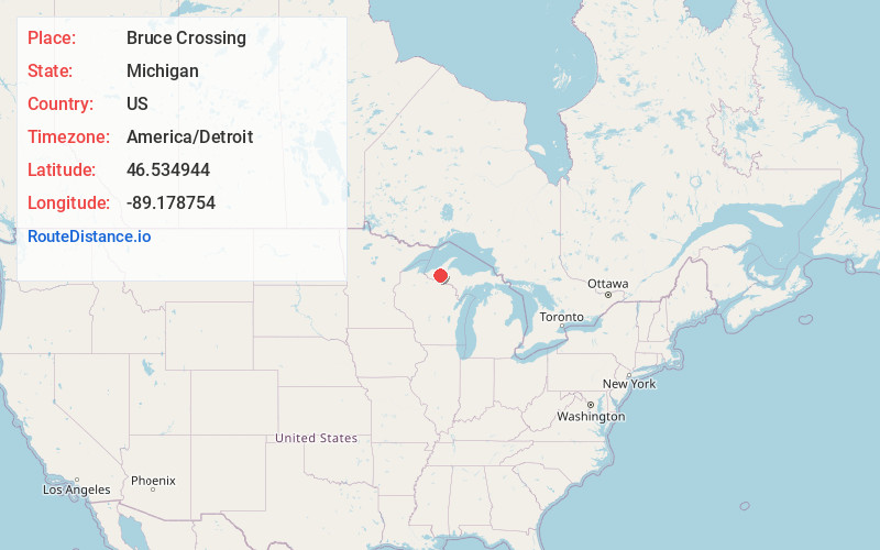
Full AddressBruce Crossing, MI 49912
-
Coordinates46.5349435, -89.1787535
-
LocationBruce Crossing , Michigan , US
-
TimezoneAmerica/Detroit
-
Current Local Time5:23:46 AM America/DetroitWednesday, June 18, 2025
-
Page Views0
About Bruce Crossing
Bruce Crossing is an unincorporated community in Ontonagon County in the U.S. state of Michigan. Bruce Crossing is located in Stannard Township at the junction of U.S. Highway 45 and M-28, 24.5 miles south-southeast of the village of Ontonagon. The community has a post office with the 49912 ZIP Code.


Nearby Places
Found 10 places within 50 miles

Ontonagon
24.1 mi
38.8 km
Ontonagon, MI 49953
Get directions

White Pine
24.4 mi
39.3 km
White Pine, MI 49971
Get directions

Wakefield
36.4 mi
58.6 km
Wakefield, MI 49968
Get directions

Baraga
36.8 mi
59.2 km
Baraga, MI 49908
Get directions

L'Anse
37.7 mi
60.7 km
L'Anse, MI 49946
Get directions

Bessemer Township
37.8 mi
60.8 km
Bessemer Township, MI
Get directions

Iron River
39.9 mi
64.2 km
Iron River, MI 49935
Get directions

Zeba
40.7 mi
65.5 km
Zeba, MI 49946
Get directions

Bessemer
41.7 mi
67.1 km
Bessemer, MI 49911
Get directions
Caspian
41.7 mi
67.1 km
Caspian, MI
Get directions
Location Links
Local Weather
Weather Information
Coming soon!
Location Map
Static map view of Bruce Crossing, Michigan
Browse Places by Distance
Places within specific distances from Bruce Crossing
Short Distances
Long Distances
Click any distance to see all places within that range from Bruce Crossing. Distances shown in miles (1 mile ≈ 1.61 kilometers).