Distance to Beatty, Oregon

Calculating Your Route
Just a moment while we process your request...
Location Information
-
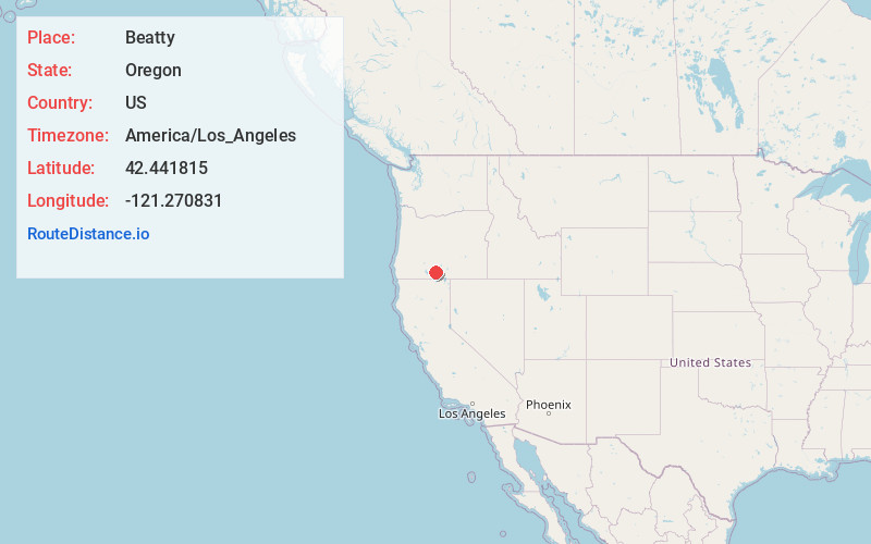
Full AddressBeatty, OR 97621
-
Coordinates42.441815, -121.2708314
-
LocationBeatty , Oregon , US
-
TimezoneAmerica/Los_Angeles
-
Current Local Time3:29:40 PM America/Los_AngelesSaturday, June 21, 2025
-
Page Views0
About Beatty
Beatty is an unincorporated community and census-designated place in Klamath County, Oregon, United States. Beatty is along Oregon Route 140 at the confluence of the Sycan and Sprague rivers and is 40 miles by highway northeast of Klamath Falls.


Nearby Places
Found 10 places within 50 miles

Bly
12.0 mi
19.3 km
Bly, OR 97622
Get directions

Bonanza
18.1 mi
29.1 km
Bonanza, OR 97623
Get directions

Altamont
28.8 mi
46.3 km
Altamont, OR 97603
Get directions

Klamath Falls
30.1 mi
48.4 km
Klamath Falls, OR
Get directions

Malin
30.5 mi
49.1 km
Malin, OR 97632
Get directions

Chiloquin
31.7 mi
51.0 km
Chiloquin, OR 97624
Get directions
Falcon Heights
32.8 mi
52.8 km
Falcon Heights, OR 97603
Get directions

Merrill
33.4 mi
53.8 km
Merrill, OR
Get directions

Tulelake
35.2 mi
56.6 km
Tulelake, CA 96134
Get directions

Newell
38.8 mi
62.4 km
Newell, CA 96134
Get directions
Location Links
Local Weather
Weather Information
Coming soon!
Location Map
Static map view of Beatty, Oregon
Browse Places by Distance
Places within specific distances from Beatty
Short Distances
Long Distances
Click any distance to see all places within that range from Beatty. Distances shown in miles (1 mile ≈ 1.61 kilometers).