Distance to Belden, Nebraska

Calculating Your Route
Just a moment while we process your request...
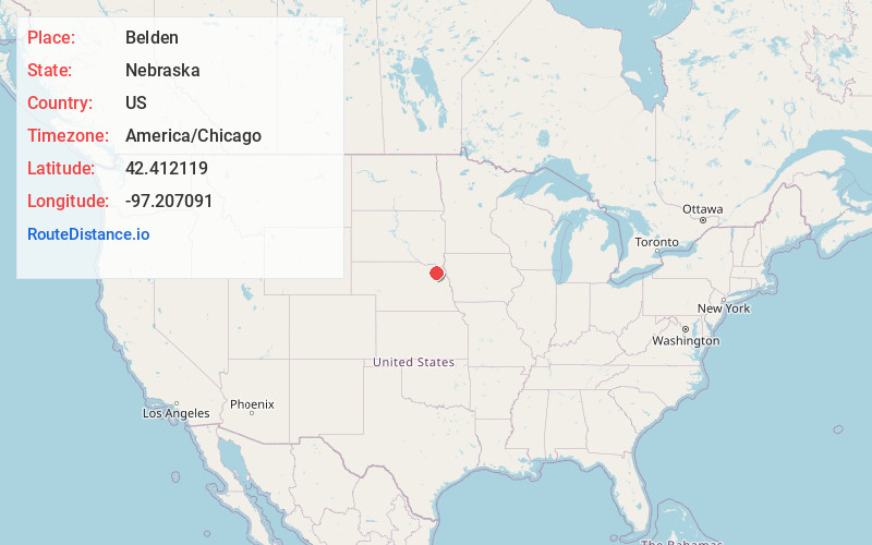
Location Information
-
Full AddressBelden, NE
-
Coordinates42.4121191, -97.207091
-
LocationBelden , Nebraska , US
-
TimezoneAmerica/Chicago
-
Current Local Time11:00:02 AM America/ChicagoMonday, June 30, 2025
-
Page Views0
About Belden
Belden is a village in Cedar County, Nebraska, United States. The population was 112 at the 2020 census.
Nearby Places
Found 10 places within 50 miles

Laurel
6.0 mi
9.7 km
Laurel, NE 68745
Get directions

Coleridge
6.5 mi
10.5 km
Coleridge, NE 68727
Get directions

Randolph
7.7 mi
12.4 km
Randolph, NE 68771
Get directions

Carroll
9.4 mi
15.1 km
Carroll, NE 68723
Get directions

Concord
11.3 mi
18.2 km
Concord, NE 68728
Get directions

Hartington
14.8 mi
23.8 km
Hartington, NE 68739
Get directions

Wayne
15.8 mi
25.4 km
Wayne, NE 68787
Get directions
Winside
16.4 mi
26.4 km
Winside, NE 68790
Get directions

Wausa
18.1 mi
29.1 km
Wausa, NE 68786
Get directions
Allen
18.6 mi
29.9 km
Allen, NE 68710
Get directions
Location Links
Local Weather
Weather Information
Coming soon!
Location Map
Static map view of Belden, Nebraska
Browse Places by Distance
Places within specific distances from Belden
Short Distances
Long Distances
Click any distance to see all places within that range from Belden. Distances shown in miles (1 mile ≈ 1.61 kilometers).