Distance to Belden, North Dakota

Calculating Your Route
Just a moment while we process your request...
Location Information
-
Full AddressBelden, ND 58784
-
Coordinates48.1514048, -102.3573958
-
LocationBelden , North Dakota , US
-
TimezoneAmerica/Chicago
-
Current Local Time1:38:13 PM America/ChicagoSaturday, May 24, 2025
-
Page Views0
About Belden
Belden is a ghost town located in Sikes Township in Mountrail County, North Dakota, United States. It is located along North Dakota Highway 8 between Stanley and the former town of Van Hook.
Nearby Places
Found 10 places within 50 miles

Epworth
6.6 mi
10.6 km
Epworth, ND 58769
Get directions

Stanley
11.6 mi
18.7 km
Stanley, ND 58784
Get directions

New Town
13.3 mi
21.4 km
New Town, ND 58763
Get directions

Ross
14.1 mi
22.7 km
Ross, ND 58776
Get directions
Palermo
14.3 mi
23.0 km
Palermo, ND
Get directions
Sanish
15.0 mi
24.1 km
Sanish, ND 58763
Get directions
Four Bears Village
15.5 mi
24.9 km
Four Bears Village, ND 58763
Get directions

Parshall
17.1 mi
27.5 km
Parshall, ND 58770
Get directions
Wassaic
17.6 mi
28.3 km
Wassaic, ND 58784
Get directions
Manitou
17.9 mi
28.8 km
Manitou, ND 58776
Get directions
Location Links
Local Weather
Weather Information
Coming soon!
Location Map
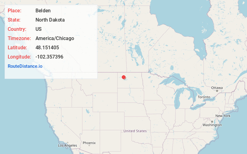
Static map view of Belden, North Dakota
Browse Places by Distance
Places within specific distances from Belden
Short Distances
Long Distances
Click any distance to see all places within that range from Belden. Distances shown in miles (1 mile ≈ 1.61 kilometers).