Distance to Belfast, Tennessee

Calculating Your Route
Just a moment while we process your request...
Location Information
-
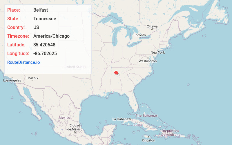
Full AddressBelfast, TN
-
Coordinates35.4206477, -86.7026253
-
LocationBelfast , Tennessee , US
-
TimezoneAmerica/Chicago
-
Current Local Time12:13:46 PM America/ChicagoSaturday, May 31, 2025
-
Page Views0
About Belfast
Belfast is an unincorporated community in Marshall County, Tennessee, United States. The area ZIP code is 37019. It is roughly halfway between Nashville, Tennessee, to the north and Huntsville, Alabama, to the south.


Nearby Places
Found 10 places within 50 miles

Lewisburg
5.2 mi
8.4 km
Lewisburg, TN 37091
Get directions

Wheel
6.2 mi
10.0 km
Wheel, TN 37091
Get directions

Petersburg
7.9 mi
12.7 km
Petersburg, TN 37144
Get directions

Cornersville
8.7 mi
14.0 km
Cornersville, TN
Get directions

Blakeville
11.2 mi
18.0 km
Blakeville, TN 37144
Get directions

Lillard Mill
12.4 mi
20.0 km
Lillard Mill, TN 37091
Get directions
Shelbyville Mills
12.6 mi
20.3 km
Shelbyville Mills, Shelbyville, TN 37161
Get directions
Poplins Crossroads
12.9 mi
20.8 km
Poplins Crossroads, TN 37180
Get directions

Chapel Hill
14.2 mi
22.9 km
Chapel Hill, TN 37034
Get directions

Shelbyville
14.3 mi
23.0 km
Shelbyville, TN
Get directions
Location Links
Local Weather
Weather Information
Coming soon!
Location Map
Static map view of Belfast, Tennessee
Browse Places by Distance
Places within specific distances from Belfast
Short Distances
Long Distances
Click any distance to see all places within that range from Belfast. Distances shown in miles (1 mile ≈ 1.61 kilometers).