Distance to Bell Mountain, California

Calculating Your Route
Just a moment while we process your request...
Location Information
-
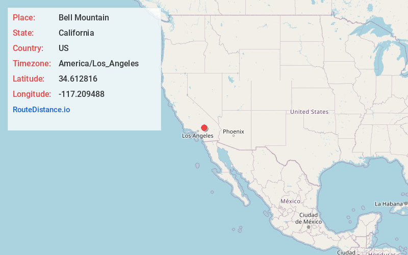
Full AddressBell Mountain, CA 92307
-
Coordinates34.612816, -117.209488
-
LocationBell Mountain , California , US
-
TimezoneAmerica/Los_Angeles
-
Current Local Time2:34:52 AM America/Los_AngelesWednesday, June 18, 2025
-
Page Views0
About Bell Mountain
Bell Mountain is an unincorporated community in the Victor Valley region of the Mojave Desert, within San Bernardino County, southern California.
It is north of Apple Valley, east of Interstate 15, and 8 miles northeast of Victorville. The town lies at 3,082 feet above sea level on Dale Evans Parkway.


Nearby Places
Found 10 places within 50 miles

Victorville
7.1 mi
11.4 km
Victorville, CA
Get directions

Apple Valley
7.9 mi
12.7 km
Apple Valley, CA
Get directions

Mountain View Acres
11.3 mi
18.2 km
Mountain View Acres, CA 92392
Get directions

Adelanto
11.5 mi
18.5 km
Adelanto, CA
Get directions

Helendale
12.3 mi
19.8 km
Helendale, CA 92342
Get directions

Hesperia
14.4 mi
23.2 km
Hesperia, CA
Get directions

Lucerne Valley
18.1 mi
29.1 km
Lucerne Valley, CA 92356
Get directions

Oak Hills
18.1 mi
29.1 km
Oak Hills, CA
Get directions

Lenwood
19.2 mi
30.9 km
Lenwood, CA 92311
Get directions
Hutt
21.8 mi
35.1 km
Hutt, CA 92311
Get directions
Location Links
Local Weather
Weather Information
Coming soon!
Location Map
Static map view of Bell Mountain, California
Browse Places by Distance
Places within specific distances from Bell Mountain
Short Distances
Long Distances
Click any distance to see all places within that range from Bell Mountain. Distances shown in miles (1 mile ≈ 1.61 kilometers).