Distance to Bellvue, Colorado

Calculating Your Route
Just a moment while we process your request...
Location Information
-
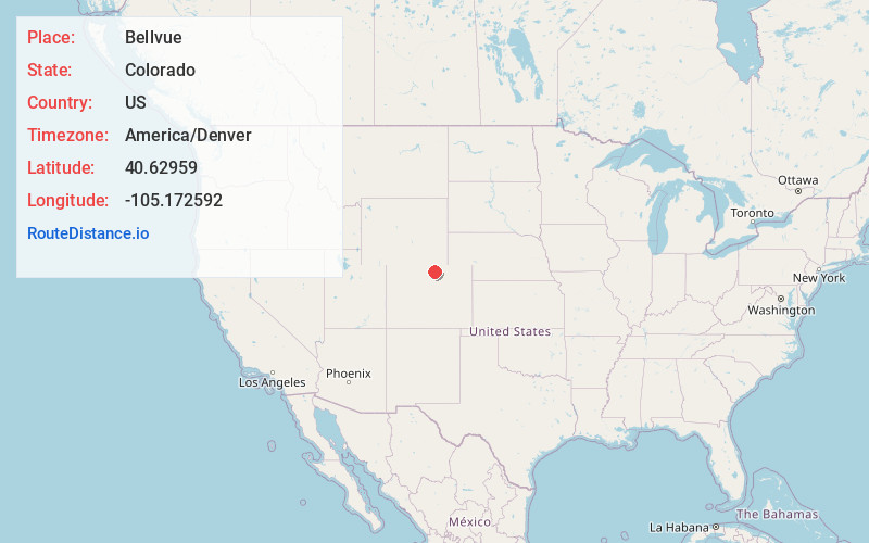
Full AddressBellvue, CO 80512
-
Coordinates40.6295895, -105.1725918
-
LocationBellvue , Colorado , US
-
TimezoneAmerica/Denver
-
Current Local Time11:40:31 AM America/DenverMonday, June 30, 2025
-
Page Views0
About Bellvue
Bellvue is an unincorporated community and U.S. Post Office in Larimer County, Colorado. It is a small agricultural community located in Pleasant Valley, a narrow valley just northwest of Fort Collins near the mouth of the Poudre Canyon between the Dakota Hogback ridge and the foothills of the Rocky Mountains.


Nearby Places
Found 10 places within 50 miles

Laporte
1.8 mi
2.9 km
Laporte, CO
Get directions

Fort Collins
5.5 mi
8.9 km
Fort Collins, CO
Get directions

Drakes
7.1 mi
11.4 km
Drakes, Fort Collins, CO 80525
Get directions

Arrowhead
8.5 mi
13.7 km
Arrowhead, CO 80524
Get directions
Harmony
10.0 mi
16.1 km
Harmony, Fort Collins, CO 80528
Get directions

Wellington
10.0 mi
16.1 km
Wellington, CO 80549
Get directions

Timnath
12.0 mi
19.3 km
Timnath, CO
Get directions
Cedar Cove
15.6 mi
25.1 km
Cedar Cove, CO 80537
Get directions

Drake
16.3 mi
26.2 km
Drake, CO 80515
Get directions

Loveland
17.0 mi
27.4 km
Loveland, CO
Get directions
Location Links
Local Weather
Weather Information
Coming soon!
Location Map
Static map view of Bellvue, Colorado
Browse Places by Distance
Places within specific distances from Bellvue
Short Distances
Long Distances
Click any distance to see all places within that range from Bellvue. Distances shown in miles (1 mile ≈ 1.61 kilometers).