Distance to and from Bellwood, Florida
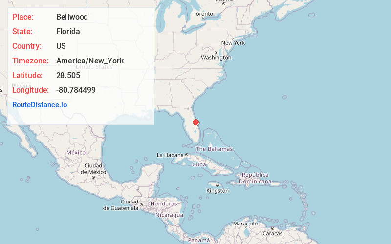
Bellwood, FL 32780
Florida
US
America/New_York
Location Information
-
Full AddressBellwood, FL 32780
-
Coordinates28.5050001, -80.7844986
-
LocationFlorida , US
-
TimezoneAmerica/New_York
-
Current Local Time6:10:35 PM America/New_YorkSaturday, May 3, 2025
-
Page Views0
Directions to Nearest Cities
About Bellwood
Bellwood is an unincorporated village in Brevard County, Florida, United States east of U.S. 1 on the mainland by the Indian River. Kennedy Space Center and Cape Canaveral are visible from the shoreline which runs the length of the village. The area of Bellwood is only 1 square mile.

Nearby Places
Found 10 places within 50 miles

Port St John
2.0 mi
3.2 km
Port St John, FL 32927
Get directions

Sharpes
5.2 mi
8.4 km
Sharpes, FL
Get directions

Titusville
7.3 mi
11.7 km
Titusville, FL
Get directions

Orsino
7.4 mi
11.9 km
Orsino, FL 32953
Get directions

Cocoa
8.6 mi
13.8 km
Cocoa, FL
Get directions
Cocoa West
10.0 mi
16.1 km
Cocoa West, FL
Get directions

Mims
11.7 mi
18.8 km
Mims, FL
Get directions

Cape Canaveral
13.3 mi
21.4 km
Cape Canaveral, FL 32920
Get directions

Rockledge
13.5 mi
21.7 km
Rockledge, FL
Get directions

Christmas
14.3 mi
23.0 km
Christmas, FL 32709
Get directions
Port St John
2.0 mi
3.2 km
Port St John, FL 32927
Sharpes
5.2 mi
8.4 km
Sharpes, FL
Titusville
7.3 mi
11.7 km
Titusville, FL
Orsino
7.4 mi
11.9 km
Orsino, FL 32953
Cocoa
8.6 mi
13.8 km
Cocoa, FL
Cocoa West
10.0 mi
16.1 km
Cocoa West, FL
Mims
11.7 mi
18.8 km
Mims, FL
Cape Canaveral
13.3 mi
21.4 km
Cape Canaveral, FL 32920
Rockledge
13.5 mi
21.7 km
Rockledge, FL
Christmas
14.3 mi
23.0 km
Christmas, FL 32709
Location Links
Local Weather
Weather Information
Coming soon!
Location Map
Static map view of Bellwood, Florida
Browse Places by Distance
Places within specific distances from Bellwood
Short Distances
Long Distances
Click any distance to see all places within that range from Bellwood. Distances shown in miles (1 mile ≈ 1.61 kilometers).