Distance to Cocoa West, Florida

Calculating Your Route
Just a moment while we process your request...
Location Information
-
Full AddressCocoa West, FL
-
Coordinates28.3600458, -80.7714555
-
LocationCocoa West , Florida , US
-
TimezoneAmerica/New_York
-
Current Local Time11:49:37 AM America/New_YorkMonday, June 30, 2025
-
Page Views0
About Cocoa West
Cocoa West is a census-designated place in Brevard County, Florida, United States. The population was 5,939 at the 2020 census, up from 5,925 at the 2010 census. It is the closest place to Lake Poinsett and Canaveral Groves.
Nearby Places
Found 10 places within 50 miles

Cocoa
2.5 mi
4.0 km
Cocoa, FL
Get directions

Rockledge
4.0 mi
6.4 km
Rockledge, FL
Get directions

Merritt Island
7.0 mi
11.3 km
Merritt Island, FL
Get directions

Viera East
7.8 mi
12.6 km
Viera East, FL
Get directions

Viera West
8.0 mi
12.9 km
Viera West, FL
Get directions

Port St John
8.1 mi
13.0 km
Port St John, FL 32927
Get directions

Cape Canaveral
10.2 mi
16.4 km
Cape Canaveral, FL 32920
Get directions

Cocoa Beach
10.2 mi
16.4 km
Cocoa Beach, FL 32931
Get directions
South Patrick Shores
14.7 mi
23.7 km
South Patrick Shores, FL 32937
Get directions

Titusville
17.3 mi
27.8 km
Titusville, FL
Get directions
Location Links
Local Weather
Weather Information
Coming soon!
Location Map
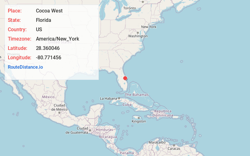
Static map view of Cocoa West, Florida
Browse Places by Distance
Places within specific distances from Cocoa West
Short Distances
Long Distances
Click any distance to see all places within that range from Cocoa West. Distances shown in miles (1 mile ≈ 1.61 kilometers).