Distance to Belspring, Virginia

Calculating Your Route
Just a moment while we process your request...
Location Information
-
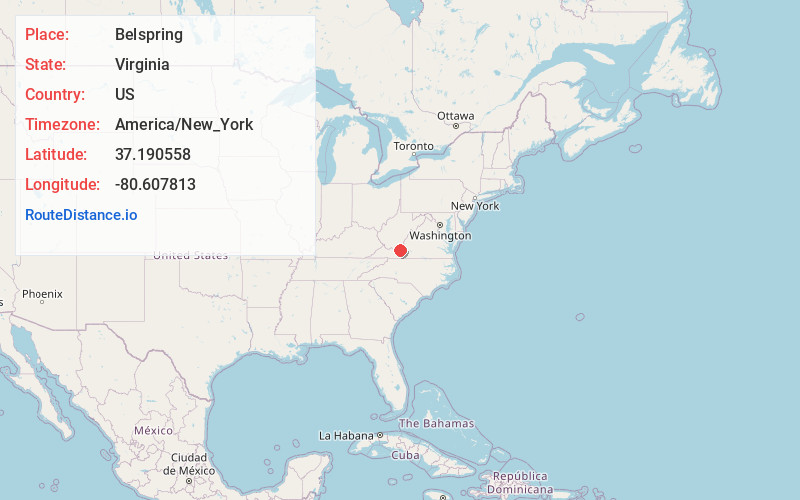
Full AddressBelspring, VA
-
Coordinates37.1905581, -80.6078129
-
LocationBelspring , Virginia , US
-
TimezoneAmerica/New_York
-
Current Local Time7:17:26 AM America/New_YorkWednesday, June 18, 2025
-
Page Views0
About Belspring
Belspring is a census-designated place in Pulaski County, Virginia, United States, located at an elevation of 1,778 feet above sea level. It has the ZIP Code 24058 and the area code 540. The population of the CDP was 256 at the 2010 Census.


Nearby Places
Found 10 places within 50 miles

Parrott
1.1 mi
1.8 km
Parrott, VA
Get directions

Fairlawn
3.3 mi
5.3 km
Fairlawn, VA 24141
Get directions

New River
3.8 mi
6.1 km
New River, VA 24141
Get directions

Radford
4.4 mi
7.1 km
Radford, VA
Get directions

Belview
5.6 mi
9.0 km
Belview, VA
Get directions
Prices Fork
6.6 mi
10.6 km
Prices Fork, VA 24060
Get directions
Plum Creek
7.2 mi
11.6 km
Plum Creek, VA
Get directions

Dublin
7.3 mi
11.7 km
Dublin, VA 24084
Get directions

Pembroke
9.1 mi
14.6 km
Pembroke, VA 24136
Get directions
Merrimac
10.4 mi
16.7 km
Merrimac, VA
Get directions
Location Links
Local Weather
Weather Information
Coming soon!
Location Map
Static map view of Belspring, Virginia
Browse Places by Distance
Places within specific distances from Belspring
Short Distances
Long Distances
Click any distance to see all places within that range from Belspring. Distances shown in miles (1 mile ≈ 1.61 kilometers).