Distance to Ben Franklin, Texas

Calculating Your Route
Just a moment while we process your request...
Location Information
-
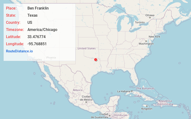
Full AddressBen Franklin, TX 75415
-
Coordinates33.4767736, -95.7688511
-
LocationBen Franklin , Texas , US
-
TimezoneAmerica/Chicago
-
Current Local Time7:17:34 PM America/ChicagoFriday, June 20, 2025
-
Page Views0
About Ben Franklin
Ben Franklin is an unincorporated community in Delta County, Texas, United States. According to the Handbook of Texas, the community had a population of 75 in 2000.
Nearby Places
Found 10 places within 50 miles

Rattan
4.3 mi
6.9 km
Rattan, TX 75432
Get directions
Harmon
4.3 mi
6.9 km
Harmon, TX 75446
Get directions

Pecan Gap
5.3 mi
8.5 km
Pecan Gap, TX
Get directions
Noble
5.4 mi
8.7 km
Noble, TX 75470
Get directions
Roxton
5.4 mi
8.7 km
Roxton, TX 75477
Get directions
Enloe
7.1 mi
11.4 km
Enloe, TX
Get directions

Cooper
8.5 mi
13.7 km
Cooper, TX 75432
Get directions
Bagby
8.7 mi
14.0 km
Bagby, TX 75446
Get directions
Mt Joy Crossing
8.8 mi
14.2 km
Mt Joy Crossing, TX 75432
Get directions
Petty
9.0 mi
14.5 km
Petty, TX 75470
Get directions
Location Links
Local Weather
Weather Information
Coming soon!
Location Map
Static map view of Ben Franklin, Texas
Browse Places by Distance
Places within specific distances from Ben Franklin
Short Distances
Long Distances
Click any distance to see all places within that range from Ben Franklin. Distances shown in miles (1 mile ≈ 1.61 kilometers).