Distance to Pecan Gap, Texas

Calculating Your Route
Just a moment while we process your request...
Location Information
-
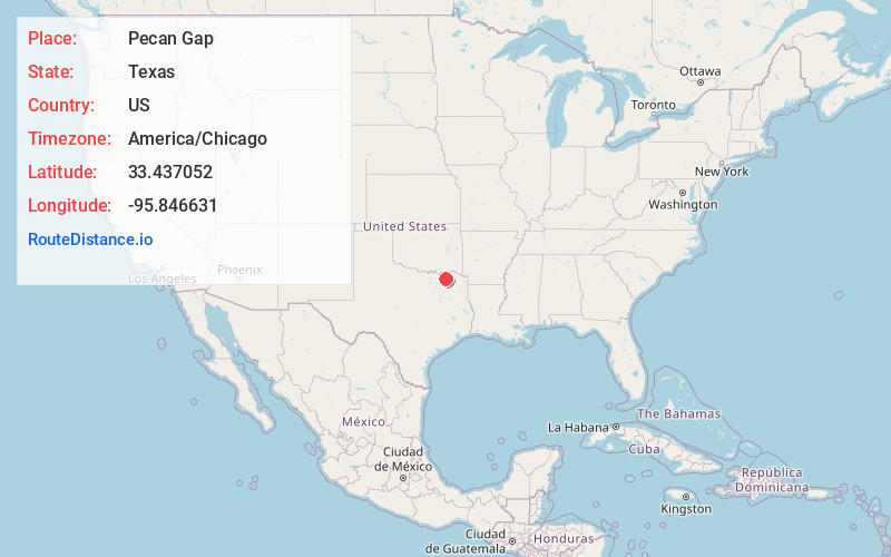
Full AddressPecan Gap, TX
-
Coordinates33.4370521, -95.8466311
-
LocationPecan Gap , Texas , US
-
TimezoneAmerica/Chicago
-
Current Local Time7:18:39 PM America/ChicagoFriday, June 20, 2025
-
Page Views0
About Pecan Gap
Pecan Gap is a city in Delta and Fannin counties within the U.S. state of Texas. It is sometimes informally referred to as "The Gap" by area residents. The population was 178 at the time of the 2020 census.


Nearby Places
Found 10 places within 50 miles

Ladonia
5.8 mi
9.3 km
Ladonia, TX
Get directions

Cooper
10.1 mi
16.3 km
Cooper, TX 75432
Get directions

Roxton
10.3 mi
16.6 km
Roxton, TX 75477
Get directions

Honey Grove
10.8 mi
17.4 km
Honey Grove, TX 75446
Get directions

Wolfe City
13.6 mi
21.9 km
Wolfe City, TX 75496
Get directions

Commerce
13.6 mi
21.9 km
Commerce, TX 75428
Get directions

Dodd City
16.3 mi
26.2 km
Dodd City, TX
Get directions
Tira
17.5 mi
28.2 km
Tira, TX 75482
Get directions

Bailey
18.4 mi
29.6 km
Bailey, TX
Get directions
Neylandville
18.5 mi
29.8 km
Neylandville, TX 75401
Get directions
Location Links
Local Weather
Weather Information
Coming soon!
Location Map
Static map view of Pecan Gap, Texas
Browse Places by Distance
Places within specific distances from Pecan Gap
Short Distances
Long Distances
Click any distance to see all places within that range from Pecan Gap. Distances shown in miles (1 mile ≈ 1.61 kilometers).