Distance to Bena, California

Calculating Your Route
Just a moment while we process your request...
Location Information
-
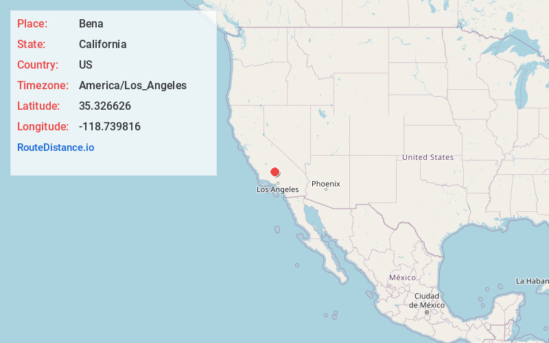
Full AddressBena, CA
-
Coordinates35.326626, -118.7398158
-
LocationCalifornia , US
-
TimezoneAmerica/Los_Angeles
-
Current Local Time3:32:36 AM America/Los_AngelesFriday, May 30, 2025
-
Page Views0
About Bena
Bena is an unincorporated area of Kern County, California. It is located on the Union Pacific Railroad 7 miles west-northwest of Caliente, at an elevation of 863 feet. The Pampa post office operated from 1889 to 1890 and again during 1901.
Nearby Places
Found 10 places within 50 miles

Ilmon
2.8 mi
4.5 km
Ilmon, CA 93518
Get directions

Bealville
7.4 mi
11.9 km
Bealville, CA 93518
Get directions

Edison
7.6 mi
12.2 km
Edison, CA
Get directions

Di Giorgio
7.9 mi
12.7 km
Di Giorgio, CA 93203
Get directions
Edmundson Acres
8.3 mi
13.4 km
Edmundson Acres, CA 93203
Get directions
Fig Orchard
9.0 mi
14.5 km
Fig Orchard, CA 93518
Get directions
Ribier
9.3 mi
15.0 km
Ribier, CA 93307
Get directions
Fuller Acres
10.0 mi
16.1 km
Fuller Acres, CA 93307
Get directions

Arvin
10.1 mi
16.3 km
Arvin, CA 93203
Get directions
Patch
10.2 mi
16.4 km
Patch, CA 93307
Get directions
Location Links
Local Weather
Weather Information
Coming soon!
Location Map
Static map view of Bena, California
Browse Places by Distance
Places within specific distances from Bena
Short Distances
Long Distances
Click any distance to see all places within that range from Bena. Distances shown in miles (1 mile ≈ 1.61 kilometers).