Distance to Bealville, California

Calculating Your Route
Just a moment while we process your request...
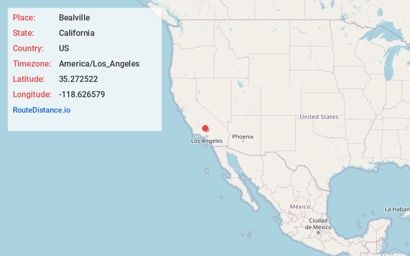
Location Information
-
Full AddressBealville, CA 93518
-
Coordinates35.272522, -118.626579
-
LocationBealville , California , US
-
TimezoneAmerica/Los_Angeles
-
Current Local Time9:16:29 AM America/Los_AngelesSaturday, May 31, 2025
-
Page Views0
About Bealville
Bealville is an unincorporated community in Kern County, California. It is located on the Union Pacific Railroad 1.25 miles south of Caliente, at an elevation of 1,811 feet. The area was named after Edward Fitzgerald Beale, who owned the adjacent Rancho El Tejon.


Nearby Places
Found 10 places within 50 miles

Fig Orchard
3.6 mi
5.8 km
Fig Orchard, CA 93518
Get directions

Ilmon
4.7 mi
7.6 km
Ilmon, CA 93518
Get directions

Keene
5.0 mi
8.0 km
Keene, CA
Get directions

Walong
7.2 mi
11.6 km
Walong, CA 93561
Get directions

Marcel
8.4 mi
13.5 km
Marcel, CA 93561
Get directions
Loraine
11.0 mi
17.7 km
Loraine, CA 93518
Get directions
Cable
11.1 mi
17.9 km
Cable, CA 93561
Get directions
Edmundson Acres
11.5 mi
18.5 km
Edmundson Acres, CA 93203
Get directions

Golden Hills
11.8 mi
19.0 km
Golden Hills, CA 93561
Get directions
Di Giorgio
12.3 mi
19.8 km
Di Giorgio, CA 93203
Get directions
Location Links
Local Weather
Weather Information
Coming soon!
Location Map
Static map view of Bealville, California
Browse Places by Distance
Places within specific distances from Bealville
Short Distances
Long Distances
Click any distance to see all places within that range from Bealville. Distances shown in miles (1 mile ≈ 1.61 kilometers).