Distance to Loraine, California

Calculating Your Route
Just a moment while we process your request...
Location Information
-
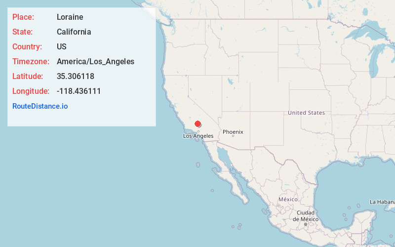
Full AddressLoraine, CA 93518
-
Coordinates35.306118, -118.436111
-
LocationLoraine , California , US
-
TimezoneAmerica/Los_Angeles
-
Current Local Time1:01:33 PM America/Los_AngelesSunday, June 15, 2025
-
Page Views0
About Loraine
Loraine is an unincorporated community in Kern County, California. It is located on the east bank of the mouth of Indian Creek where it enters Caliente Creek, 12 miles north of Tehachapi, at an elevation of 2,671 feet.
Nearby Places
Found 10 places within 50 miles

Keene
9.1 mi
14.6 km
Keene, CA
Get directions

Golden Hills
11.7 mi
18.8 km
Golden Hills, CA 93561
Get directions

Tehachapi
12.0 mi
19.3 km
Tehachapi, CA 93561
Get directions

Stallion Springs
19.0 mi
30.6 km
Stallion Springs, CA
Get directions

Bodfish
19.7 mi
31.7 km
Bodfish, CA 93205
Get directions

Lake Isabella
21.7 mi
34.9 km
Lake Isabella, CA
Get directions

Squirrel Mountain Valley
22.0 mi
35.4 km
Squirrel Mountain Valley, CA 93240
Get directions

Edmundson Acres
22.5 mi
36.2 km
Edmundson Acres, CA 93203
Get directions

Mountain Mesa
23.1 mi
37.2 km
Mountain Mesa, CA 93240
Get directions
Di Giorgio
23.3 mi
37.5 km
Di Giorgio, CA 93203
Get directions
Location Links
Local Weather
Weather Information
Coming soon!
Location Map
Static map view of Loraine, California
Browse Places by Distance
Places within specific distances from Loraine
Short Distances
Long Distances
Click any distance to see all places within that range from Loraine. Distances shown in miles (1 mile ≈ 1.61 kilometers).