Distance to Tehachapi, California

Calculating Your Route
Just a moment while we process your request...
Location Information
-
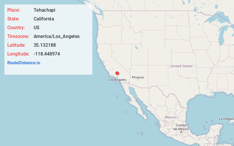
Full AddressTehachapi, CA 93561
-
Coordinates35.1321877, -118.4489739
-
LocationTehachapi , California , US
-
TimezoneAmerica/Los_Angeles
-
Current Local Time12:34:14 AM America/Los_AngelesWednesday, June 18, 2025
-
Website
-
Page Views0
About Tehachapi
Tehachapi is city in the Tehachapi Mountains of southern California. Northwest, a viewpoint overlooks the Tehachapi Loop, a long, spiral section of railway track. In town, the Tehachapi Depot Railroad Museum has antique railroad tools and signs. The Tehachapi Museum tells the story of the city's early settlers and includes natural history exhibits. Nearby, the Errea House Museum contains early-1900s furnishings.


Nearby Places
Found 10 places within 50 miles

Arvin
22.2 mi
35.7 km
Arvin, CA 93203
Get directions

Rosamond
24.6 mi
39.6 km
Rosamond, CA
Get directions

California City
26.2 mi
42.2 km
California City, CA
Get directions

Lamont
27.7 mi
44.6 km
Lamont, CA
Get directions

Lancaster
34.1 mi
54.9 km
Lancaster, CA
Get directions

Bakersfield
36.3 mi
58.4 km
Bakersfield, CA
Get directions

Oildale
37.8 mi
60.8 km
Oildale, CA 93308
Get directions

Palmdale
42.7 mi
68.7 km
Palmdale, CA
Get directions

Rosedale
43.0 mi
69.2 km
Rosedale, CA
Get directions

Castaic
45.6 mi
73.4 km
Castaic, CA 91384
Get directions
Location Links
Local Weather
Weather Information
Coming soon!
Location Map
Static map view of Tehachapi, California
Browse Places by Distance
Places within specific distances from Tehachapi
Short Distances
Long Distances
Click any distance to see all places within that range from Tehachapi. Distances shown in miles (1 mile ≈ 1.61 kilometers).