Distance to Keene, California

Calculating Your Route
Just a moment while we process your request...
Location Information
-
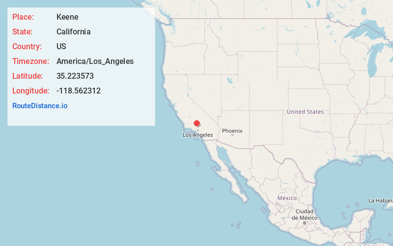
Full AddressKeene, CA
-
Coordinates35.2235728, -118.5623117
-
LocationKeene , California , US
-
TimezoneAmerica/Los_Angeles
-
Current Local Time2:26:24 AM America/Los_AngelesSaturday, June 21, 2025
-
Page Views0
About Keene
Keene is a census-designated place in Kern County, California in the foothills of the Tehachapi Mountains at the southern extreme of the San Joaquin Valley. Keene is located 8.5 miles northwest of Tehachapi, at an elevation of 2,602 feet. The population was 469 at the 2020 census, up from 431 at the 2010 census.


Nearby Places
Found 10 places within 50 miles

Golden Hills
6.9 mi
11.1 km
Golden Hills, CA 93561
Get directions

Tehachapi
9.0 mi
14.5 km
Tehachapi, CA 93561
Get directions

Stallion Springs
10.4 mi
16.7 km
Stallion Springs, CA
Get directions

Arvin
15.4 mi
24.8 km
Arvin, CA 93203
Get directions

Edison
19.5 mi
31.4 km
Edison, CA
Get directions

Weedpatch
19.8 mi
31.9 km
Weedpatch, CA
Get directions

Lamont
20.0 mi
32.2 km
Lamont, CA
Get directions
Fuller Acres
20.6 mi
33.2 km
Fuller Acres, CA 93307
Get directions

Mojave
25.3 mi
40.7 km
Mojave, CA 93501
Get directions

Bodfish
25.5 mi
41.0 km
Bodfish, CA 93205
Get directions
Location Links
Local Weather
Weather Information
Coming soon!
Location Map
Static map view of Keene, California
Browse Places by Distance
Places within specific distances from Keene
Short Distances
Long Distances
Click any distance to see all places within that range from Keene. Distances shown in miles (1 mile ≈ 1.61 kilometers).