Distance to Bengal, Minnesota

Calculating Your Route
Just a moment while we process your request...
Location Information
-
Full AddressBengal, MN 55746
-
Coordinates47.26833, -93.06583
-
LocationBengal , Minnesota , US
-
TimezoneAmerica/Chicago
-
Current Local Time6:18:19 PM America/ChicagoThursday, June 12, 2025
-
Page Views0
About Bengal
Bengal was an unincorporated community on the boundary of Itasca County and Saint Louis County, Minnesota, United States, located about three hours north of Minneapolis. Bengal was also previously known as Powers.
Nearby Places
Found 10 places within 50 miles

Silica
2.1 mi
3.4 km
Silica, MN 55746
Get directions
Goodland
8.1 mi
13.0 km
Goodland, MN 55742
Get directions
Kevin
8.2 mi
13.2 km
Kevin, MN 55775
Get directions
Cooley
8.6 mi
13.8 km
Cooley, MN 55769
Get directions
Jurgenson
8.9 mi
14.3 km
Jurgenson, MN 55775
Get directions

Keewatin
8.9 mi
14.3 km
Keewatin, MN
Get directions

Nashwauk
9.1 mi
14.6 km
Nashwauk, MN
Get directions
Calumet
10.4 mi
16.7 km
Calumet, MN
Get directions
Marble
11.5 mi
18.5 km
Marble, MN
Get directions

Hibbing
12.5 mi
20.1 km
Hibbing, MN
Get directions
Location Links
Local Weather
Weather Information
Coming soon!
Location Map
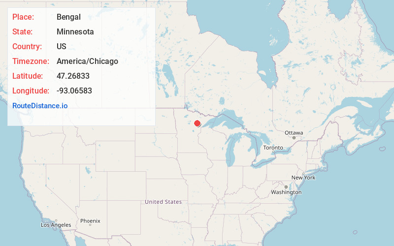
Static map view of Bengal, Minnesota
Browse Places by Distance
Places within specific distances from Bengal
Short Distances
Long Distances
Click any distance to see all places within that range from Bengal. Distances shown in miles (1 mile ≈ 1.61 kilometers).