Distance to Benham, North Carolina

Calculating Your Route
Just a moment while we process your request...
Location Information
-
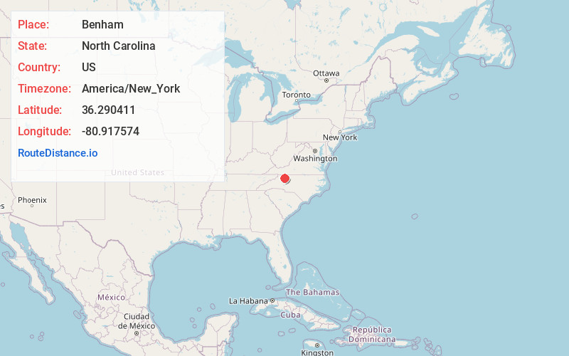
Full AddressBenham, NC 28621
-
Coordinates36.2904113, -80.9175741
-
LocationNorth Carolina , US
-
TimezoneAmerica/New_York
-
Current Local Time6:50:42 PM America/New_YorkTuesday, June 17, 2025
-
Page Views0
Nearby Places
Found 10 places within 50 miles

Pleasant Ridge
2.6 mi
4.2 km
Pleasant Ridge, NC 28676
Get directions
North Elkin
3.6 mi
5.8 km
North Elkin, Elkin, NC 28621
Get directions
State Rd
3.7 mi
6.0 km
State Rd, NC 28676
Get directions
Austin
4.0 mi
6.4 km
Austin, NC 28621
Get directions
Lomax
4.6 mi
7.4 km
Lomax, NC 28669
Get directions

Elkin
5.0 mi
8.0 km
Elkin, NC
Get directions

Ronda
5.1 mi
8.2 km
Ronda, NC 28670
Get directions

Jonesville
5.4 mi
8.7 km
Jonesville, NC 28642
Get directions
Mountain Park
6.8 mi
10.9 km
Mountain Park, NC 28676
Get directions
Grays Creek
7.4 mi
11.9 km
Grays Creek, North Carolina
Get directions
Location Links
Local Weather
Weather Information
Coming soon!
Location Map
Static map view of Benham, North Carolina
Browse Places by Distance
Places within specific distances from Benham
Short Distances
Long Distances
Click any distance to see all places within that range from Benham. Distances shown in miles (1 mile ≈ 1.61 kilometers).