Distance to Bennett, Florida

Calculating Your Route
Just a moment while we process your request...
Location Information
-
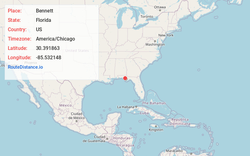
Full AddressBennett, FL 32466
-
Coordinates30.3918626, -85.5321483
-
LocationFlorida , US
-
TimezoneAmerica/Chicago
-
Current Local Time9:27:01 PM America/ChicagoTuesday, June 17, 2025
-
Page Views0
Nearby Places
Found 10 places within 50 miles

Lynn Haven
12.3 mi
19.8 km
Lynn Haven, FL
Get directions

Pretty Bayou
16.7 mi
26.9 km
Pretty Bayou, FL 32405
Get directions
Wausau
16.9 mi
27.2 km
Wausau, FL
Get directions

Springfield
17.2 mi
27.7 km
Springfield, FL
Get directions

Callaway
17.2 mi
27.7 km
Callaway, FL 32404
Get directions
Parker
18.5 mi
29.8 km
Parker, FL 32404
Get directions

Vernon
19.2 mi
30.9 km
Vernon, FL 32462
Get directions
Ebro
20.7 mi
33.3 km
Ebro, FL 32437
Get directions

Tyndall AFB
22.0 mi
35.4 km
Tyndall AFB, FL 32403
Get directions

Alford
22.5 mi
36.2 km
Alford, FL
Get directions
Location Links
Local Weather
Weather Information
Coming soon!
Location Map
Static map view of Bennett, Florida
Browse Places by Distance
Places within specific distances from Bennett
Short Distances
Long Distances
Click any distance to see all places within that range from Bennett. Distances shown in miles (1 mile ≈ 1.61 kilometers).