Distance to Bennett, Colorado

Calculating Your Route
Just a moment while we process your request...
Location Information
-
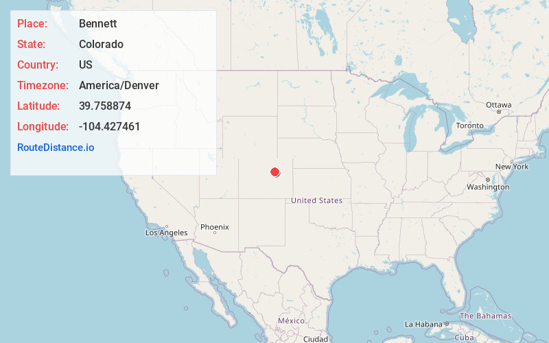
Full AddressBennett, CO 80102
-
Coordinates39.7588736, -104.4274609
-
LocationBennett , Colorado , US
-
TimezoneAmerica/Denver
-
Current Local Time12:53:44 AM America/DenverFriday, June 20, 2025
-
Website
-
Page Views0
About Bennett
Bennett is a statutory town located in Adams and Arapahoe counties, Colorado, United States. The town population was 2,862 at the 2020 United States census with 2,443 residing in Adams County and 419 residing in Arapahoe County.


Nearby Places
Found 10 places within 50 miles

Aurora
21.6 mi
34.8 km
Aurora, CO
Get directions

Lochbuie
23.0 mi
37.0 km
Lochbuie, CO
Get directions

Parker
24.3 mi
39.1 km
Parker, CO
Get directions

Dove Valley
24.9 mi
40.1 km
Dove Valley, CO
Get directions
Stonegate
25.6 mi
41.2 km
Stonegate, CO 80134
Get directions

Brighton
26.1 mi
42.0 km
Brighton, CO
Get directions
Meridian
26.4 mi
42.5 km
Meridian, CO
Get directions

The Pinery
26.6 mi
42.8 km
The Pinery, CO 80134
Get directions

Derby
26.9 mi
43.3 km
Derby, CO 80022
Get directions

Centennial
26.9 mi
43.3 km
Centennial, CO
Get directions
Location Links
Local Weather
Weather Information
Coming soon!
Location Map
Static map view of Bennett, Colorado
Browse Places by Distance
Places within specific distances from Bennett
Short Distances
Long Distances
Click any distance to see all places within that range from Bennett. Distances shown in miles (1 mile ≈ 1.61 kilometers).