Distance to Bennettsville, Indiana

Calculating Your Route
Just a moment while we process your request...
Location Information
-
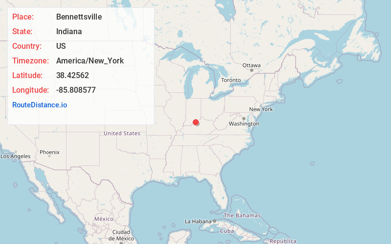
Full AddressBennettsville, Carr Township, IN 47143
-
Coordinates38.4256201, -85.808577
-
LocationCarr Township , Indiana , US
-
TimezoneAmerica/New_York
-
Current Local Time4:31:14 AM America/New_YorkWednesday, June 25, 2025
-
Page Views0
About Bennettsville
Bennettsville is an unincorporated community in Carr Township, Clark County, Indiana.
Nearby Places
Found 10 places within 50 miles

Wilson
1.8 mi
2.9 km
Wilson, IN 47143
Get directions
Carwood
3.3 mi
5.3 km
Carwood, IN 47106
Get directions

Sellersburg
3.5 mi
5.6 km
Sellersburg, IN
Get directions
Hamburg
3.7 mi
6.0 km
Hamburg, Silver Creek Township, IN 47172
Get directions

Starlight
4.6 mi
7.4 km
Starlight, IN 47106
Get directions

Memphis
4.8 mi
7.7 km
Memphis, IN 47143
Get directions
Navilleton
7.7 mi
12.4 km
Navilleton, IN 47119
Get directions

Charlestown
7.7 mi
12.4 km
Charlestown, IN 47111
Get directions

Floyds Knobs
7.8 mi
12.6 km
Floyds Knobs, IN
Get directions

Borden
8.0 mi
12.9 km
Borden, IN 47106
Get directions
Location Links
Local Weather
Weather Information
Coming soon!
Location Map
Static map view of Bennettsville, Indiana
Browse Places by Distance
Places within specific distances from Bennettsville
Short Distances
Long Distances
Click any distance to see all places within that range from Bennettsville. Distances shown in miles (1 mile ≈ 1.61 kilometers).