Distance to Floyds Knobs, Indiana

Calculating Your Route
Just a moment while we process your request...
Location Information
-
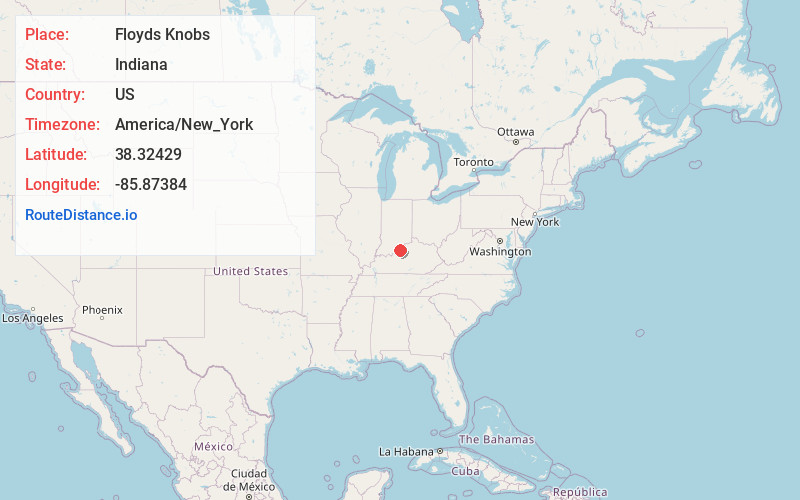
Full AddressFloyds Knobs, IN
-
Coordinates38.3242901, -85.8738399
-
LocationFloyds Knobs , Indiana , US
-
TimezoneAmerica/New_York
-
Current Local Time10:04:29 AM America/New_YorkFriday, May 30, 2025
-
Page Views0
About Floyds Knobs
Floyds Knobs is a small unincorporated community in Lafayette Township, Floyd County, Indiana, United States. Historically a farming community on the outskirts of New Albany, it has since become a bedroom community for Louisville, Kentucky.


Nearby Places
Found 10 places within 50 miles

New Albany
3.8 mi
6.1 km
New Albany, IN 47150
Get directions

Clarksville
6.5 mi
10.5 km
Clarksville, IN
Get directions

Louisville
7.9 mi
12.7 km
Louisville, KY
Get directions

Jeffersonville
8.1 mi
13.0 km
Jeffersonville, IN
Get directions

Sellersburg
8.2 mi
13.2 km
Sellersburg, IN
Get directions

Shively
9.8 mi
15.8 km
Shively, KY
Get directions

St Matthews
14.1 mi
22.7 km
St Matthews, KY
Get directions

Prospect
14.1 mi
22.7 km
Prospect, KY 40059
Get directions

Charlestown
14.2 mi
22.9 km
Charlestown, IN 47111
Get directions

Lyndon
15.5 mi
24.9 km
Lyndon, KY
Get directions
Location Links
Local Weather
Weather Information
Coming soon!
Location Map
Static map view of Floyds Knobs, Indiana
Browse Places by Distance
Places within specific distances from Floyds Knobs
Short Distances
Long Distances
Click any distance to see all places within that range from Floyds Knobs. Distances shown in miles (1 mile ≈ 1.61 kilometers).