Distance to Benson, Arizona

Calculating Your Route
Just a moment while we process your request...
Location Information
-
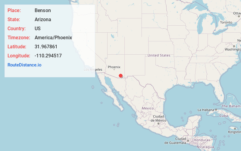
Full AddressBenson, AZ
-
Coordinates31.9678611, -110.2945174
-
LocationBenson , Arizona , US
-
TimezoneAmerica/Phoenix
-
Current Local Time2:05:55 PM America/PhoenixWednesday, June 18, 2025
-
Website
-
Page Views0
About Benson
Benson is a city in Cochise County, Arizona, United States. As of the 2020 census, the population of the city was 5,355. It was founded as a rail terminal for the area, and is located approximately 45 miles east-southeast of the city of Tucson.


Nearby Places
Found 10 places within 50 miles

Vail
23.9 mi
38.5 km
Vail, AZ 85641
Get directions

Rincon Valley
25.6 mi
41.2 km
Rincon Valley, AZ
Get directions

Sierra Vista
27.8 mi
44.7 km
Sierra Vista, AZ
Get directions

Tanque Verde
32.5 mi
52.3 km
Tanque Verde, AZ
Get directions

Sierra Vista Southeast
35.6 mi
57.3 km
Sierra Vista Southeast, AZ
Get directions

Sahuarita
38.8 mi
62.4 km
Sahuarita, AZ
Get directions

Green Valley
41.8 mi
67.3 km
Green Valley, AZ
Get directions

Catalina Foothills
43.1 mi
69.4 km
Catalina Foothills, AZ
Get directions

Tucson
44.4 mi
71.5 km
Tucson, AZ
Get directions

Drexel Heights
44.6 mi
71.8 km
Drexel Heights, AZ
Get directions
Location Links
Local Weather
Weather Information
Coming soon!
Location Map
Static map view of Benson, Arizona
Browse Places by Distance
Places within specific distances from Benson
Short Distances
Long Distances
Click any distance to see all places within that range from Benson. Distances shown in miles (1 mile ≈ 1.61 kilometers).