Distance to Benton Hot Springs, California

Calculating Your Route
Just a moment while we process your request...
Location Information
-
Full AddressBenton Hot Springs, Benton, CA 93512
-
Coordinates37.8003169, -118.529452
-
NeighborhoodBenton Hot Springs
-
LocationBenton , California , US
-
TimezoneAmerica/Los_Angeles
-
Current Local Time6:13:56 PM America/Los_AngelesMonday, June 2, 2025
-
Page Views0
About Benton Hot Springs
The Benton Hot Springs are in Mono County, California around which grew the town of Benton. It is located 3 miles west-southwest of Benton and 31 miles north-northwest of Bishop, at an elevation of 5630 feet. It is part of the Benton census-designated place for statistical purposes.


Nearby Places
Found 10 places within 50 miles
Benton
3.1 mi
5.0 km
Benton, CA 93512
Get directions

Montgomery City
5.8 mi
9.3 km
Montgomery City, CA 93514
Get directions
Hammil
10.9 mi
17.5 km
Hammil, CA 93514
Get directions
Pizona
11.9 mi
19.2 km
Pizona, CA 93512
Get directions
Gold Hit
16.4 mi
26.4 km
Gold Hit, NV
Get directions

Lake Crowley
17.7 mi
28.5 km
Lake Crowley, California
Get directions
Sunny Slopes
18.1 mi
29.1 km
Sunny Slopes, CA 93546
Get directions

Toms Place
18.5 mi
29.8 km
Toms Place, CA 93546
Get directions

Whitmore Hot Springs
19.3 mi
31.1 km
Whitmore Hot Springs, CA
Get directions
Aspen Springs
19.6 mi
31.5 km
Aspen Springs, CA 93546
Get directions
Location Links
Local Weather
Weather Information
Coming soon!
Location Map
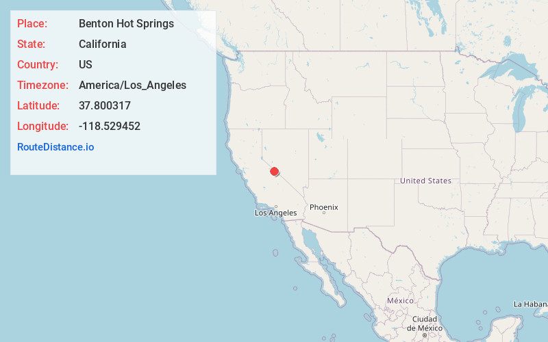
Static map view of Benton Hot Springs, California
Browse Places by Distance
Places within specific distances from Benton Hot Springs
Short Distances
Long Distances
Click any distance to see all places within that range from Benton Hot Springs. Distances shown in miles (1 mile ≈ 1.61 kilometers).