Distance to Montgomery City, California

Calculating Your Route
Just a moment while we process your request...
Location Information
-
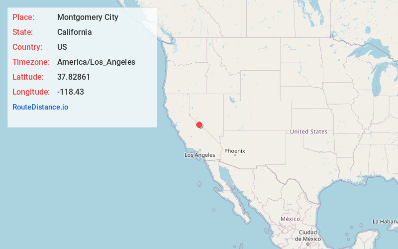
Full AddressMontgomery City, CA 93514
-
Coordinates37.82861, -118.43
-
LocationMontgomery City , California , US
-
TimezoneAmerica/Los_Angeles
-
Current Local Time7:25:01 AM America/Los_AngelesSunday, June 1, 2025
-
Page Views0
About Montgomery City
Montgomery City was an unincorporated community in Mono County, California. It was located 2.5 miles east-northeast of Benton, at an elevation of 6450 feet.
Nearby Places
Found 10 places within 50 miles

Benton
2.7 mi
4.3 km
Benton, CA 93512
Get directions

Hammil
10.5 mi
16.9 km
Hammil, CA 93514
Get directions

Chalfant
21.0 mi
33.8 km
Chalfant, CA 93514
Get directions
Rock House Spring
22.0 mi
35.4 km
Rock House Spring, Nevada 89422
Get directions
Sunny Slopes
22.7 mi
36.5 km
Sunny Slopes, CA 93546
Get directions

Dyer
22.8 mi
36.7 km
Dyer, NV 89010
Get directions

Lake Crowley
22.9 mi
36.9 km
Lake Crowley, California
Get directions

Toms Place
23.0 mi
37.0 km
Toms Place, CA 93546
Get directions

Mesa Camp
23.5 mi
37.8 km
Mesa Camp, CA
Get directions
Aspen Springs
24.3 mi
39.1 km
Aspen Springs, CA 93546
Get directions
Location Links
Local Weather
Weather Information
Coming soon!
Location Map
Static map view of Montgomery City, California
Browse Places by Distance
Places within specific distances from Montgomery City
Short Distances
Long Distances
Click any distance to see all places within that range from Montgomery City. Distances shown in miles (1 mile ≈ 1.61 kilometers).