Distance to Benton, New Hampshire

Calculating Your Route
Just a moment while we process your request...
Location Information
-
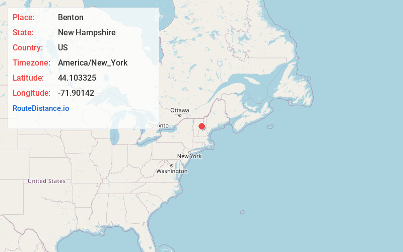
Full AddressBenton, NH
-
Coordinates44.1033254, -71.9014201
-
LocationBenton , New Hampshire , US
-
TimezoneAmerica/New_York
-
Current Local Time5:19:23 AM America/New_YorkWednesday, June 18, 2025
-
Page Views0
About Benton
Benton is a town in Grafton County, New Hampshire, United States. The population was 374 at the 2020 census. Located in the White Mountains, Benton is largely surrounded by the White Mountain National Forest. The town is crossed by the Appalachian Trail.


Nearby Places
Found 10 places within 50 miles

Landaff
5.0 mi
8.0 km
Landaff, NH
Get directions

Bath
5.4 mi
8.7 km
Bath, NH
Get directions

Lisbon
7.6 mi
12.2 km
Lisbon, NH
Get directions

Sugar Hill
9.2 mi
14.8 km
Sugar Hill, NH
Get directions

Haverhill
9.4 mi
15.1 km
Haverhill, NH
Get directions

Lyman
10.4 mi
16.7 km
Lyman, NH
Get directions

Franconia
11.5 mi
18.5 km
Franconia, NH
Get directions

Newbury
11.7 mi
18.8 km
Newbury, VT
Get directions

Lincoln
12.3 mi
19.8 km
Lincoln, NH
Get directions

Warren
12.5 mi
20.1 km
Warren, NH
Get directions
Location Links
Local Weather
Weather Information
Coming soon!
Location Map
Static map view of Benton, New Hampshire
Browse Places by Distance
Places within specific distances from Benton
Short Distances
Long Distances
Click any distance to see all places within that range from Benton. Distances shown in miles (1 mile ≈ 1.61 kilometers).