Distance to Sugar Hill, New Hampshire

Calculating Your Route
Just a moment while we process your request...
Location Information
-
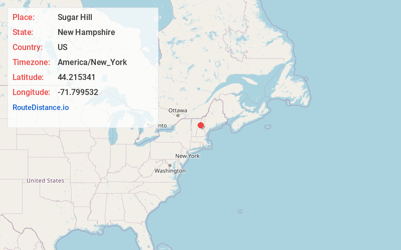
Full AddressSugar Hill, NH
-
Coordinates44.215341, -71.7995321
-
LocationSugar Hill , New Hampshire , US
-
TimezoneAmerica/New_York
-
Current Local Time3:41:39 AM America/New_YorkFriday, June 20, 2025
-
Page Views0
About Sugar Hill
Sugar Hill is a town in Grafton County, New Hampshire, United States. The population was 647 at the 2020 census, an increase over the figure of 563 tabulated in 2010. The town overlooks the White Mountain National Forest, with views of the Presidential, Franconia, Kinsman and Dalton ranges.


Nearby Places
Found 10 places within 50 miles

Franconia
2.7 mi
4.3 km
Franconia, NH
Get directions

Lisbon
5.5 mi
8.9 km
Lisbon, NH
Get directions

Littleton
6.4 mi
10.3 km
Littleton, NH 03561
Get directions

Bethlehem
7.1 mi
11.4 km
Bethlehem, NH
Get directions

Bath
8.9 mi
14.3 km
Bath, NH
Get directions

Monroe
11.9 mi
19.2 km
Monroe, NH
Get directions

Lincoln
13.5 mi
21.7 km
Lincoln, NH
Get directions
Barnet
13.6 mi
21.9 km
Barnet, VT
Get directions

Carroll
13.9 mi
22.4 km
Carroll, NH
Get directions

Whitefield
14.3 mi
23.0 km
Whitefield, NH
Get directions
Location Links
Local Weather
Weather Information
Coming soon!
Location Map
Static map view of Sugar Hill, New Hampshire
Browse Places by Distance
Places within specific distances from Sugar Hill
Short Distances
Long Distances
Click any distance to see all places within that range from Sugar Hill. Distances shown in miles (1 mile ≈ 1.61 kilometers).