Distance to Carroll, New Hampshire

Calculating Your Route
Just a moment while we process your request...
Location Information
-
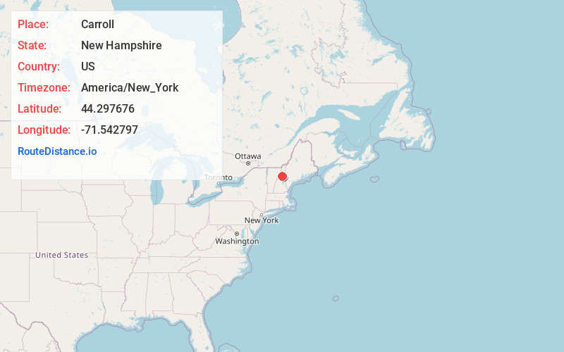
Full AddressCarroll, NH
-
Coordinates44.297676, -71.5427968
-
LocationCarroll , New Hampshire , US
-
TimezoneAmerica/New_York
-
Current Local Time1:27:19 AM America/New_YorkMonday, June 30, 2025
-
Website
-
Page Views0
About Carroll
Carroll is a town in Coös County, New Hampshire, United States. The population was 820 at the 2020 census. The two largest villages are Twin Mountain and Bretton Woods.


Nearby Places
Found 10 places within 50 miles

Whitefield
6.2 mi
10.0 km
Whitefield, NH
Get directions

Bethlehem
7.3 mi
11.7 km
Bethlehem, NH
Get directions

Jefferson
9.0 mi
14.5 km
Jefferson, NH
Get directions

Dalton
11.1 mi
17.9 km
Dalton, NH 03598
Get directions

Franconia
11.3 mi
18.2 km
Franconia, NH
Get directions

Littleton
11.3 mi
18.2 km
Littleton, NH 03561
Get directions

Lancaster
13.2 mi
21.2 km
Lancaster, NH
Get directions

Lunenburg
13.3 mi
21.4 km
Lunenburg, VT
Get directions

Lincoln
18.6 mi
29.9 km
Lincoln, NH
Get directions

Lisbon
19.1 mi
30.7 km
Lisbon, NH
Get directions
Location Links
Local Weather
Weather Information
Coming soon!
Location Map
Static map view of Carroll, New Hampshire
Browse Places by Distance
Places within specific distances from Carroll
Short Distances
Long Distances
Click any distance to see all places within that range from Carroll. Distances shown in miles (1 mile ≈ 1.61 kilometers).